
A powerful storm system, described as a 'triple-threat March megastorm', is affecting nearly 200 million people across the United States. The storm, which has developed into a bomb cyclone, is delivering a dangerous mix of blizzard conditions, damaging winds, and severe thunderstorms from the upper Midwest to the East Coast.
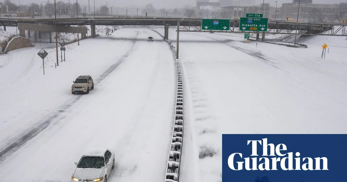
In the upper Midwest, heavy snow and high winds have made roads impassable. More than 20 inches of snow fell in parts of south-eastern Minnesota and western Wisconsin, with blizzard warnings in effect. An area from central Wisconsin to Michigan's Upper Peninsula could see over 2 feet of snow. Hundreds of flights were cancelled at Minneapolis-Saint Paul International Airport, and power outages affected over 210,000 customers in six Great Lakes states.
Further east, the storm threatens the mid-Atlantic with severe thunderstorms, damaging winds, and possible tornadoes. AccuWeather chief meteorologist Jonathan Porter warned that the set-up could produce 'one of the most impactful and dangerous early-season severe weather events' in the region for a decade. The National Weather Service expects the line of severe storms to cross the Mississippi, Tennessee and Ohio valleys before reaching the East Coast on Monday.
The storm is expected to bring flooding downpours from near New York City into southern New England, with the risk of urban flooding. A stretch from parts of South Carolina to Maryland is most at risk for damaging winds and tornadoes, including the Washington DC and Baltimore metro areas. The storm system ranks among the most impactful US weather events this year so far, prompting widespread travel disruption and warnings from forecasters.




