
The Met Office has warned that parts of the UK will see snow and temperatures as low as -7C next week, following a relatively mild weekend. After highs of 16C in the southwest on Sunday, conditions will turn colder from Monday, with rural Scotland facing the lowest temperatures overnight.
Met Office spokesperson Becky Mitchell said: 'Starting on Monday we will see some colder weather arrive. Temperatures will be a bit below average to start next week.' She added that Monday night could see temperatures fall to around -7C in parts of rural Scotland, likely the coldest night of the week.
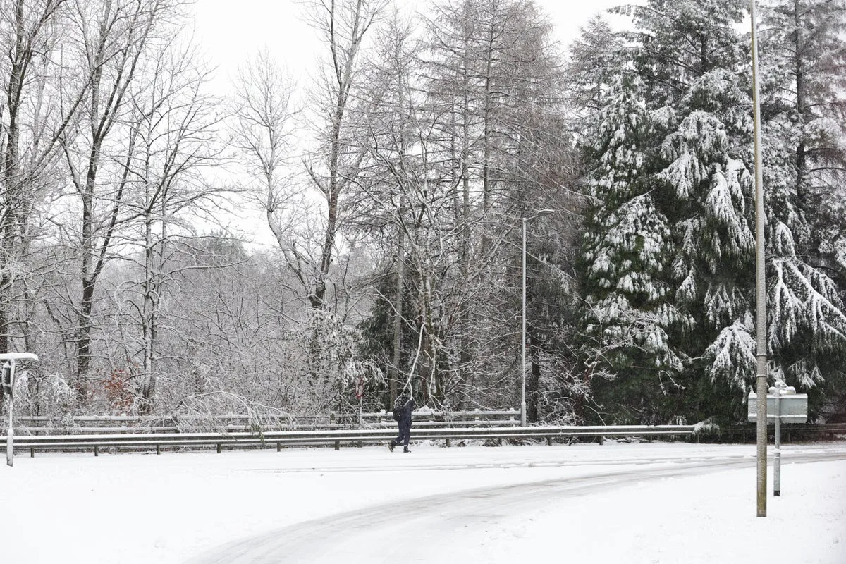
Tuesday will begin with widespread frost and patchy fog, with rain spreading east later in the day or overnight into Wednesday. Some snow is likely initially, mainly over high ground in Scotland and northern England. Temperatures will remain in mid-single figures, feeling chilly, with overnight frost expected.

The unsettled weather follows recent storms, including Storm Conall and Storm Bert, which caused flooding, power cuts, and travel disruption across the UK. Hundreds of homes were flooded, and winds exceeded 80mph in some areas. Communities in England and Wales are undertaking a massive clean-up, with some residents doubting debris will be cleared by Christmas.


