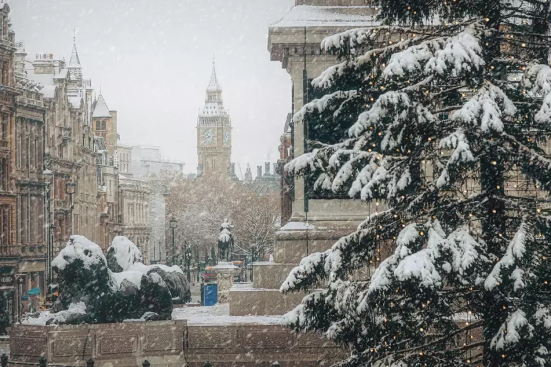
As winter's chill tightens its grip and Brits pull on their warmest knitwear, the nation's collective imagination turns to the prospect of a picturesque 'white Christmas'. This seasonal daydream follows a recent bout of wintry weather that blanketed parts of the country.
Last week witnessed significant snowfall across several UK regions, with some areas seeing accumulations of up to 25 centimetres. The severe conditions prompted the Met Office to issue an amber weather warning on Thursday, signalling potential disruption.
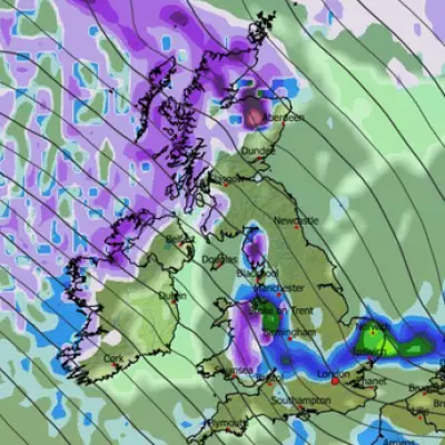
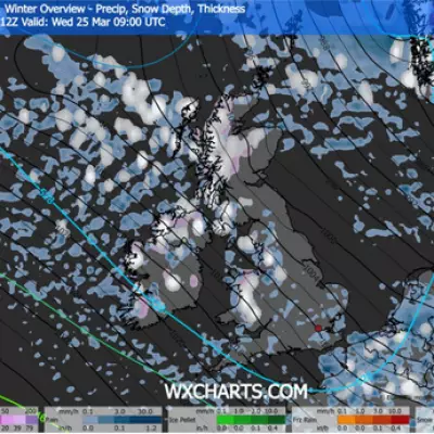
What's Next for UK Snowfall?
Despite the recent flurries, those hoping for an immediate return of widespread snow may be disappointed. According to the Met Office, the immediate forecast looks relatively mild.
The national forecaster told The Independent: "There's no significant snow in the current forecast period, with a mild westerly regime in charge bringing a mixture of sunny spells and periods of rain through this week."
They did note a slight chance of wintry precipitation, but only at the highest elevations: "There's a chance of a bit of sleet over the tops of mountains in Scotland later in the week, but there's no signal of snow to lower levels in the current forecast."
Long-Range Forecast: Unsettled and Changeable
Looking further ahead from Saturday to Monday, 8 December, the Met Office's extended outlook predicts "changeable and unsettled conditions are expected across the UK".
Their forecast indicates that low-pressure systems will dominate, bringing showers or longer spells of rain to much of the country, albeit with some brief settled intervals.
Heavy rain or showers are expected, most often in the West, with a risk of this spreading to other areas. Crucially for snow lovers, the forecast states that "snow will probably be confined to high ground in the North".
Periods of strong wind are also possible, especially around coasts. Temperatures are expected to be close to average or slightly above overall.
The Elusive 'White Christmas': What Are the Chances?
The multi-million-pound question remains: will the UK be graced with a white Christmas this year? On this matter, the Met Office is playing its cards close to its chest, stating "It's too early to speculate if we'll see a white Christmas this year."
Forecasters typically only start to gain a clear picture of the chances of Christmas Day snowflakes in the week leading up to the 25th of December.
The official definition of a 'white Christmas' in the UK is more achievable than many realise. The Met Office confirms that for it to be officially declared, a single snowflake has to be observed falling in the 24 hours of Christmas Day anywhere in the UK.
This technicality means that while a widespread blanket of snow is rare, the official 'white Christmas' occurs more frequently than one might think.
Historical data reveals that more than half of all Christmas Days since 1960 have been considered 'white', as around half of the years have seen at least 5 per cent of the weather station networks reporting snow falling.
The last technical 'white Christmas' was in 2023, when 11 per cent of weather stations recorded snow falling, though none reported any settled snow on the ground.
However, the magic of snow actually settling and creating a winter wonderland is far less common. The last time there was widespread settled snow on Christmas Day was back in 2010, which holds the record with 83 per cent of stations recording snow on the ground.
Since 1960, settled snow on Christmas Day has only occurred four times: in 1981, 1995, 2009, and 2010.


