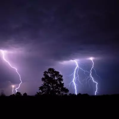
The UK is on high alert for a significant and disruptive bout of winter weather, with forecasters predicting heavy snowfall followed by a rare and dangerous phenomenon known as freezing rain.
Major Snowfall and Amber Warnings
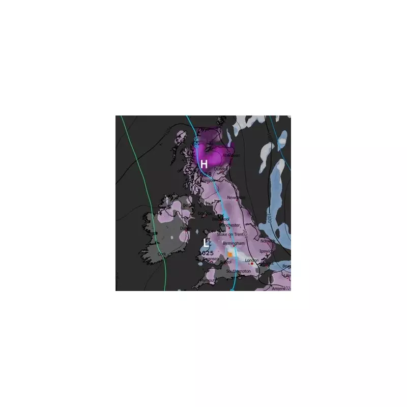
The Met Office has issued a series of weather warnings for snow and ice covering parts of England, Wales, Scotland, and Northern Ireland, active from today until midnight on Sunday. The most severe alert is an amber warning for northern and eastern Scotland on Friday and Saturday, where accumulations could reach a staggering 15 inches (38cm).
This level of snowfall is expected to cause severe travel disruption, with delays and cancellations to road, rail, and air travel highly probable. The national weather service has stated there is a "good chance" some rural communities could become temporarily cut off, and power cuts are also likely due to the weight of snow on lines.

The Threat of 'Extremely Hazardous' Freezing Rain
Advanced weather modelling indicates that after the initial snow event, a more unusual danger could emerge next week. Maps from the GFS weather model suggest that freezing rain could impact parts of the UK from the early hours of next Wednesday.
The models show this rare precipitation potentially affecting Gloucestershire around 3am, before spreading to the north-west of England by 6pm and possibly reaching areas like Glasgow by 9pm. The Met Office describes freezing rain as a "rare type of liquid precipitation that strikes a cold surface, and freezes almost instantly."
Understanding the Dangers
Freezing rain forms when snowflakes melt into raindrops in a warm layer of air, then fall through a shallow cold layer near the ground. The droplets become "supercooled," remaining liquid despite being below 0°C. Upon hitting a frozen surface, they spread and instantly turn to clear, glazed ice.
This creates an extremely hazardous situation with several severe risks:
- Transport Chaos: Roads, pavements, and especially bridges and overpasses can become like ice rinks, making travel treacherous or impossible.
- Infrastructure Damage: The weight of the ice can bring down trees and power lines, leading to further outages and damage.
- Aviation Peril: The phenomenon is particularly dangerous for aircraft, leading to potential groundings and delays.
As America's National Weather Service explains, the ice can "rapidly add weight to tree branches and power lines, causing them to snap or break." Residents across the warned areas are urged to stay updated with the latest Met Office forecasts and to plan for significant disruption over the coming days.