Britain is set to experience its fourth heatwave of the summer this week, with temperatures potentially soaring to 34°C in some areas. According to GFS weather model maps, the mercury could hit 31°C in southern England by 6pm on Monday, with London reaching 30°C and the Midlands 29°C. The north of England is expected to see 26°C, while parts of Scotland and Northern Ireland will be cooler at 24°C.
The heat is forecast to peak on Tuesday, with Gloucester possibly reaching 34°C. Widespread highs of 31°C to 33°C are expected across southern and central England, as well as Wales. Scotland could see 26°C, and Northern Ireland 24°C. On Wednesday, central and eastern England may experience 30°C to 32°C, with London again around 30°C.
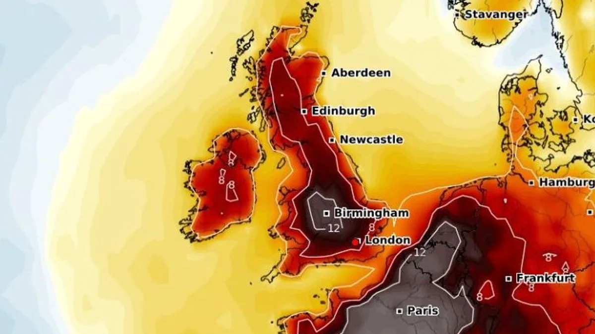
Met Office senior meteorologist Greg Dewhurst said temperatures will rise over the coming days, particularly across England and Wales, but the heat will not be as intense in Northern Ireland and Scotland. He noted that high pressure to the southeast and low pressure to the northwest are driving the hot and humid air. Dewhurst added that some areas could meet heatwave criteria as early as Tuesday, with the threshold varying from 25°C to 28°C across the country.

The hot spell may also trigger isolated heavy showers and thunderstorms, especially in southwest England and Wales on Monday and Tuesday afternoons. An official heatwave is declared when temperatures exceed the local threshold for three consecutive days.