
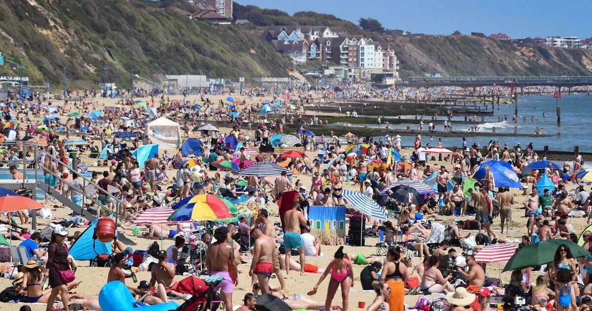
The Met Office has identified 23 areas across the UK that could see temperatures reach 33C on Sunday, as a heatwave is expected to hit during the Bank Holiday weekend. Forecasters predict that temperatures will soar above 30C in some regions, potentially surpassing popular Greek holiday destinations.
According to the Met Office, a spell of 'very warm or hot sunshine' will develop from Friday, with the weekend expected to be 'dry and hot'. The highest temperatures are likely in southeast England, with London, Surrey, and Hertfordshire forecast to reach 30C on Monday. South Yorkshire and parts of northeast Wales are also expected to bask in 30C heat.
Any temperature above 29.4C would be the highest May reading since 2012, while the all-time May record stands at 32.8C. The warmest day of the year so far was on April 8, when 26.6C was recorded in Kew Gardens, London. In Scotland, Angus could see highs of 23C, but the Highlands will remain cooler at 14-16C.

Met Office Deputy Chief Forecaster Greg Wolverson said: 'A very warm period of weather will develop through the weekend and into next week for much of the UK. High pressure will be in charge over the bank holiday weekend, bringing fine and settled conditions to most areas, except parts of northwestern Scotland where it will be cooler and cloudier with some rain.'
The Met Office is urging the public to be 'weather ready' by taking precautions when swimming or visiting the coast. Holly Clements, head of warnings and guidance, advised: 'Warm weather on a bank holiday draws people outside, but conditions at the coast can change quickly. Sun protection is particularly important as reflective surfaces like sand and water amplify UV radiation.'


