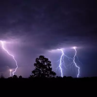
The UK is braced for a severe bout of winter weather, with forecasters warning of significant snowfall followed by a rare and dangerous phenomenon known as freezing rain.
The Met Office has issued a series of weather warnings for snow and ice across large parts of England, Wales, Scotland, and Northern Ireland, valid from today until midnight on Sunday.
Amber Warning for Heavy Snowfall
An rare amber warning has been activated for northern and eastern Scotland on Friday and Saturday, where up to 15 inches (38cm) of snow could accumulate. The national weather service states that travel delays and cancellations are highly likely, with a "good chance" that some rural communities could become completely cut off. Power cuts are also expected.

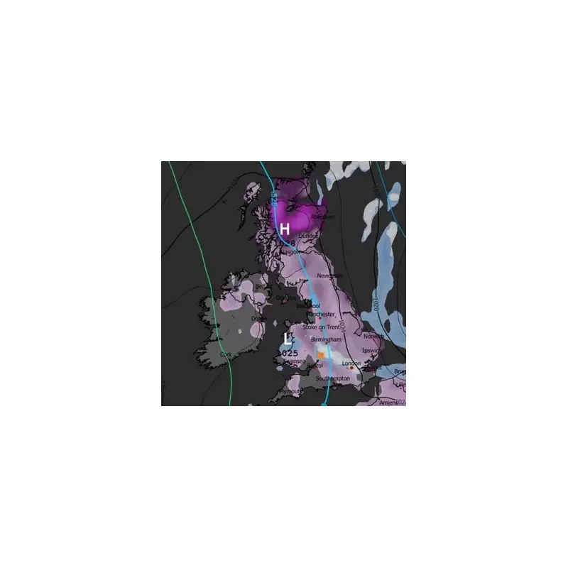
Met Office maps show the extent of the snowfall, with the heaviest accumulations focused on higher ground in Scotland. The warnings urge the public to prepare for potentially treacherous conditions.
Rare Freezing Rain Event to Follow
Advanced weather modelling indicates that after the initial snow, a more unusual threat could emerge next week. The GFS weather model predicts that freezing rain could impact parts of the country, starting with Gloucestershire around 3am next Wednesday.
By 6pm on Wednesday, the modelling suggests freezing rain, shown in orange on specialist maps, could be falling in north-west England. Further outbreaks are possible around 9pm in Scotland, potentially affecting areas including Glasgow.
What Makes Freezing Rain So Dangerous?
The Met Office describes freezing rain as a "rare type of liquid precipitation that strikes a cold surface, and freezes almost instantly." It forms when snow falls through a layer of warm air, melts into rain, and then passes through a shallow layer of sub-zero air near the ground.
This process creates "supercooled" droplets that remain liquid despite being below freezing. Upon hitting a frozen surface, they spread out and instantly turn to clear, smooth ice.
This ice can prove "extremely hazardous", creating conditions akin to an ice rink on roads and pavements. The Met Office and America's National Weather Service highlight the specific dangers:
- Transport chaos: Roads, especially bridges and overpasses, become impassable. The phenomenon is particularly dangerous for aircraft.
- Infrastructure damage: The weight of the ice can bring down trees and power lines, leading to widespread outages.
With multiple warnings in place, authorities are urging residents in affected regions to stay updated on forecasts, avoid unnecessary travel, and prepare for potential disruptions to power and transport networks in the coming days.