
Britain's record-breaking May heatwave is set to come to an abrupt end with two days of heavy rain forecast across the country. The Met Office has confirmed that Saturday marked the end of the sweltering weather, with scattered showers and lower temperatures on Sunday paving the way for more changeable conditions this week.
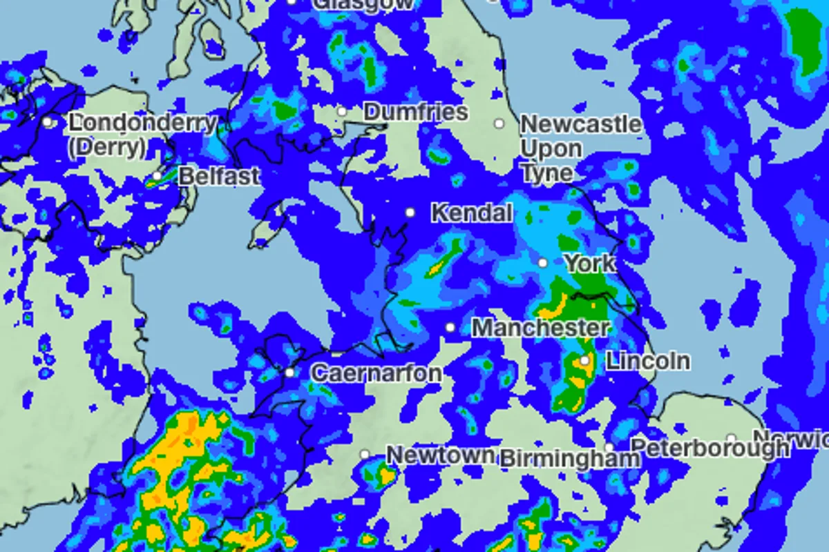
Weather maps show a blanket of heavy rain stretching across the UK, with between 2mm and 16mm expected to fall per hour in some areas. Northern and western regions will be hit on Monday morning, with the rain moving eastward before easing on Tuesday. Scotland is expected to see particularly heavy downpours on Tuesday, with up to 16mm per hour in the afternoon.
Met Office chief forecaster Chris Bulmer said temperatures will be much closer to the seasonal average, accompanied by rainfall for many through the weekend and into next week. Spells of rain will move across the UK, heavy at times in the west, with brighter intervals in between.
The rain may be welcome for farmers and gardeners, according to meteorologist Kathryn Chalk, who noted that another area of low pressure arriving from the west on Monday will bring outbreaks of rain. By Tuesday, the rain will clear into small patches of drizzle by 10pm, with patchier showers expected on Thursday, mainly in northern and eastern areas.
Temperatures are set to drop to the late teens and early twenties Celsius, a stark contrast to the recent highs. The heatwave saw a record 35.1°C recorded at Kew Gardens on Tuesday, breaking the previous May record of 34.8°C set the day before. Further unsettled conditions are predicted throughout the week, with spells of rain, showers, thunderstorms, and a chance of hail in some areas.




