
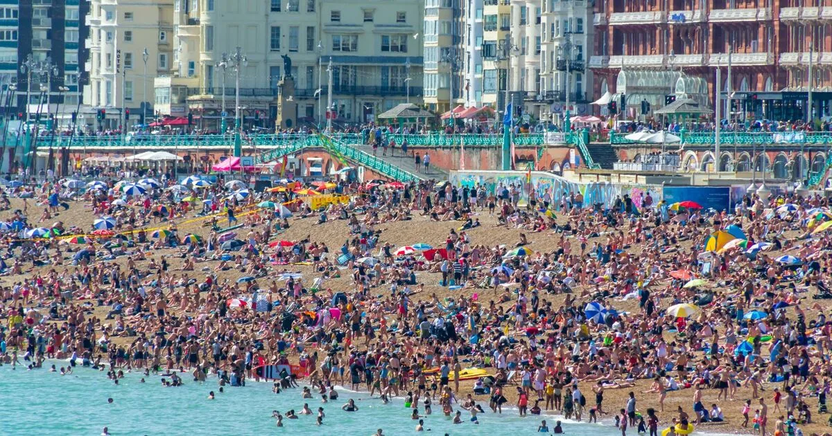
The Met Office has responded to forecasts of a potential heatwave across parts of the UK during the Bank Holiday weekend, warning that the warm spell will be short-lived. After a period of cool and unsettled weather, temperatures are expected to rise sharply from Wednesday to Friday, with highs reaching 28°C in some areas. However, the weather service cautions that conditions will turn more unsettled later on Friday and into Saturday, with a mix of cloud, showers, and longer spells of rain, possibly thundery.
According to the Met Office, the UK will see a marked contrast from recent days, with warm, fine, and settled weather for many by Friday. The warmest day of the year so far is anticipated, with temperatures remaining above average through the weekend. Sunday is likely to maintain these warmer conditions, with high pressure reducing rainfall chances and allowing temperatures to stay above average into the start of next week.
Met Office Deputy Chief Forecaster Tony Wisson said: "The weather later this week will feel like a marked contrast from recent days, with warm, fine and settled weather for many. While the warmth will persist through the Bank Holiday weekend, conditions will turn more unsettled later Friday and into Saturday, with a mix of cloud, showers and longer spells of rain. There is also the chance of thundery rain in places. Nonetheless, temperatures should remain warm or very warm through Saturday and into Sunday, with highs around 26°C in the south across the weekend and into next week."

Additional forecasts from WXCharts suggest highs of 29°C in London, with surrounding counties also set to enjoy warmer weather. The Met Office defines a heatwave as three consecutive days with daily maximum temperatures meeting or exceeding the heatwave temperature threshold. While the upcoming warm spell may approach this definition, the unsettled conditions expected later in the weekend may prevent it from being officially classified as a heatwave.


