
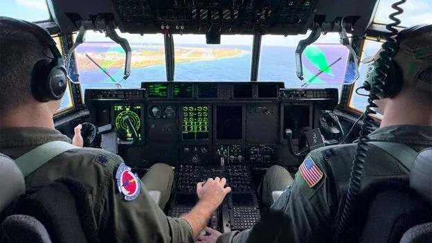
US Air Force pilots are flying missions from Japan to study atmospheric rivers—massive ribbons of water vapour in the sky—that travel across the Pacific and can cause devastating floods when they hit the US West Coast. The flights, part of the Atmospheric River Reconnaissance campaign, aim to improve forecasts of these storms, which are becoming stronger and more frequent due to climate change.
Captain Nate Wordal, a hurricane hunter with the Air Force 53rd Weather Reconnaissance Squadron, typically spends May to November flying through hurricanes. Since a few years ago, his squadron has also been flying atmospheric river missions between November and March. This year, for the first time, some flights began in Japan, in addition to those from Hawaii and the US West Coast, to measure the storms early in their journey.
Atmospheric rivers contribute up to 50% of California's annual rain and snow in just a few days, making them vital for preventing droughts. However, they also cause over $1 billion (£753 million) in flood damage annually in the western US. The data collected by the flights—using dropsondes dropped into the storms and drifting ocean buoys—helps fill gaps in satellite data and improve forecasts of where and when the storms will hit.
“Our data is changing the forecast of where [the atmospheric river] is going to hit the coast, when, with what strength and from what angle,” said Marty Ralph, director of the Center for Western Weather and Water Extremes at Scripps Institution of Oceanography, which partners with NOAA and the Air Force on the missions.




