
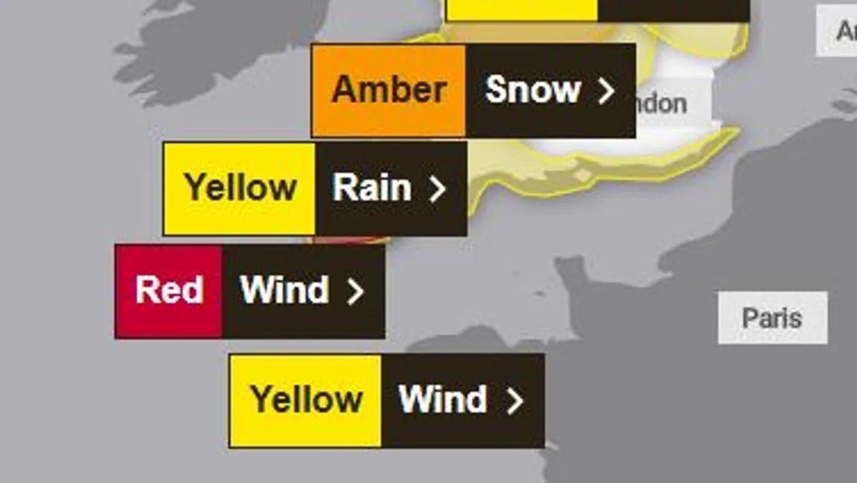
The Met Office has issued a rare red warning for 'dangerous' winds as Storm Goretti batters the UK, with gusts of up to 100mph expected in parts of south-west England. The red warning is active from 4pm to 11pm on Thursday, January 8, covering Cornwall and the Isles of Scilly.
Forecasters warn of 'violent gusts' lasting two to three hours, with peak winds of 80-100mph or more in exposed areas. The Met Office said: 'Storm Goretti will bring a period of exceptionally strong northwesterly winds... with peak gusts of 80-100 mph or more in exposed areas.'
Residents in the red zone are advised to expect damage to buildings, roofs blown off, and power lines brought down. Flying debris poses a danger to life, and travel disruption is likely, with road, rail, ferry, and flight cancellations. Large waves and beach material may be thrown onto coastal roads and homes.

Most of the UK remains under yellow or amber weather alerts. Heavy snow is also forecast for Wales, the Midlands, and parts of northern England overnight and Friday morning, with accumulations of 10-15 cm widely and up to 20-30 cm in higher areas. An amber warning is in place for the greatest risk of disruption.
UKHSA amber cold weather health alerts are in place for all regions of England until January 12. The Met Office advises people to avoid travelling by road in dangerous conditions, prepare for power cuts, and stay updated with local forecasts and emergency services advice.


