
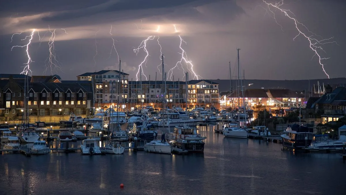
The Met Office has issued a warning that nine counties across the UK face a risk of thunderstorms this May Bank Holiday weekend. The forecast, released on Friday, indicates a dramatic shift in weather conditions, with heavy rain and potential thunderstorms expected in several regions.
Chief forecaster Dan Harris said: "Meanwhile, rain will reach southern England during the morning, spreading north into much of England and Wales later in the day, again heavy at times with a small risk of thunderstorms, these most likely in the southeast." He added that away from the heaviest showers, many southern and eastern areas will feel warm and humid.
Sunday is expected to start wet across much of England and Wales, with rain also likely in southern Scotland. The Met Office warned of possible heavier bursts, but said rain should gradually weaken and fragment, allowing brighter intervals. However, these clearer spells could spark heavy showers or thunderstorms.
Scotland and Northern Ireland will feel fresher, with lighter and less frequent showers. Temperatures should be around average in northern areas, while parts of the southeast may still feel warm if cloud cover breaks later in the day.
Deputy Chief Forecaster Mark Sidaway said: "Bank holiday Monday will remain changeable, with lingering cloud and scattered showers across southern and central areas, but these should be lighter and fewer than over the weekend."




