The Met Office has issued an urgent plea for residents across 79 areas of the United Kingdom to prepare essential items, as a severe Arctic freeze is set to bring widespread snow and ice for up to 90 hours.
Widespread Warnings for Snow and Ice
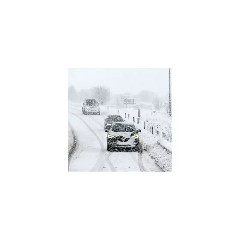
A series of new national weather warnings have been activated, with the first coming into force at 6am on New Year's Day, Thursday 1 January 2026. The alerts warn of heavy snow showers and treacherous ice, with some regions facing a wind chill that could make temperatures feel as low as -12°C.
The Met Office has cautioned that the severe conditions pose significant risks, including vehicles becoming stranded, injuries from slips and falls on icy surfaces, and potential power cuts. Rural communities are warned they could become temporarily cut off.

Essential Items to Gather Now
In light of the heightened risk of power disruptions, the national forecaster is advising people in the affected zones to proactively gather emergency supplies. The specific advice is to consider gathering torches and batteries, a mobile phone power pack, and other essential items to see households through any outages.
Regional Breakdown of the Warnings
The warnings span the entirety of the UK, covering parts of England, Wales, Scotland, and Northern Ireland with varying levels of severity and timing.
Scotland faces the first and most prolonged impact. A warning from 6am on Thursday until midnight on Sunday predicts up to 30cm of snow on higher ground, with around 10cm possible at lower levels. Affected areas include:
- Central, Tayside & Fife: Angus, Perth and Kinross
- Grampian: Aberdeenshire, Moray
- Highlands & Eilean Siar
- Orkney & Shetland
- Strathclyde: Argyll and Bute
A second, separate warning for Scotland then runs from Saturday 3rd January until midnight on Sunday 4th, bringing a further threat of 30cm over high ground and 15cm elsewhere, with the added hazard of drifting snow and temporary blizzard conditions.
Northern Ireland is under a snow and ice warning from midnight until 10am on Friday 2nd January, with up to 2cm of snow forecast, primarily in the north. The Met Office advises pedestrians to use main road pavements and cyclists to stick to treated routes where possible.
England and Wales are included in a joint snow and ice warning active from midnight until midday on Friday. Up to 5cm of snow could settle on higher ground in Wales and northwest England, with disruptive showers lasting up to three hours as the system moves southeast. The warning notably covers major population centres including London and Birmingham.
Travel Disruption Expected
With such extensive warnings in place, significant travel disruption is anticipated across the country's road and rail networks as 2026 begins. The public is urged to check the latest forecasts and travel advice before setting out, and to ensure they are equipped for difficult conditions if a journey is essential.
The Met Office's stark message underscores the severity of this incoming weather system, urging preparedness to ensure safety and resilience during the prolonged period of extreme winter conditions.