The Met Office has released striking weather maps showing Britain basking in glorious sunshine again, but only for a short while. Temperatures are set to rise slowly this week, reaching highs of 28C by Friday as a band of high pressure moves in from the west. However, forecasters warn that thunderstorms are also likely at the end of the week, particularly across parts of the East of England.
Current Conditions and Early Week Forecast
On Sunday, temperatures struggled at 11.6C in the Shetland Islands and 14.8C in County Antrim, Northern Ireland. Monday has been drizzly across the South of England, and further rain is expected on Tuesday, with the heaviest outbursts likely in the Southwest of England, according to forecasters.
Friday's Heat and Storm Risk
The Met Office weather map for Friday shows an orange hue across most of the UK, indicating warmer and drier conditions. Despite the thunderstorms feared on Friday night and into Saturday, the East of England and the Southeast of England are expected to be the hottest places, with temperatures of 28C and 27C widely tipped across these regions.

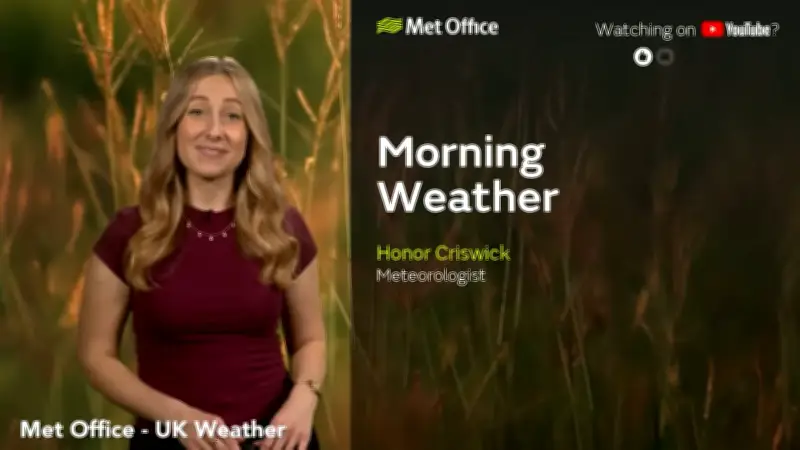
Honor Criswick, a meteorologist at the Met Office, stated: "The temperatures this week are going to be increasing day by day, especially across the Southeast of England. This is where high pressure is starting to build, and we start to bring in a slightly warmer plume of air as well. So, there's potentially some very warm, if not quite hot, weather towards the end of the week. However, this may spark off some thunderstorms."
Weekend Outlook and Beyond
While the Met Office has not issued any weather warnings for storms, rain is expected to disrupt the warmer period. On the weekend, parts of South Wales and the Southwest of England could see showers. However, even in northern England on Friday, temperatures should reach 20C, warmer than the end of last week. Parts of Lincolnshire and Humberside will be among the hottest areas on Friday.
After the storms and rain over the haphazard weekend, warmer conditions are likely to return throughout the rest of June. The Met Office's long-range forecast for June 20 to June 29 reads: "There is the possibility of some very warm and humid weather across parts of south and southeast Britain at the start of this period and perhaps the chance of a few thunderstorms too. Generally more changeable to the north and west at first, but there is a signal for high pressure to build more widely as we move towards the latter part of June. This likely brings more widely drier, settled conditions with temperatures probably remaining above average for most. It is still possible that Atlantic low pressure may still bring brief spells of wet and windy weather. There is a chance that the hot conditions could return northwards accompanied by a thunderstorm risk; this all dependent on the orientation of the aforementioned high pressure."