
The Met Office has issued yellow weather warnings for thunderstorms and heavy rain across 32 areas of the UK, with stormy conditions expected from Thursday evening into the night. The warnings bring risks of flooding, lightning strikes, hail, and strong gusty winds, potentially causing travel disruption and power outages.
The first warning, in effect from 3pm to 11:59pm on Thursday June 26, covers northern Scotland, including Grampian, Highlands and Eilean Siar, Orkney and Shetland, and Strathclyde. The Met Office warned of heavy, persistent rain with thunderstorms potentially developing, bringing 20-30mm of rain in one hour and up to 30-50mm in three hours, along with frequent lightning, large hail up to 4cm in diameter, and gusty winds.
A second yellow alert, updated at 3:10pm and extended further north and east, comes into force from 6pm to 11:59pm. It covers London and South East England, South West England, Wales, and the West Midlands, where thunderstorms and heavy showers are expected later in the day and into the evening.

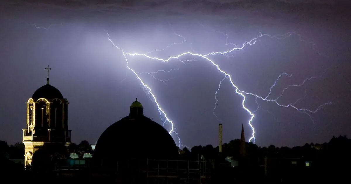
The Met Office reported that Somerset recorded around 18,540 lightning strikes in a 24-hour period, and the London Fire Brigade received about 400 calls overnight, including two house fires believed caused by lightning strikes and flooding incidents. The UK also provisionally recorded its hottest June day for the second consecutive day, with 36.4°C in Yeovilton, Somerset, while red and amber extreme heat warnings remain in place until 11:59pm.
Residents in affected areas are advised to prepare for flash flooding by creating a flood plan and emergency kit, secure outdoor objects like bins and garden furniture, and gather torches and batteries for potential power cuts. If outside during thunder, the Met Office urges finding safe enclosed shelter, avoiding trees or structures that may attract lightning, and moving to lower ground if on elevated areas.


