The Met Office has issued fresh weather warnings for ice and rain across parts of the southwest, Wales and Northern Ireland, following widespread flooding caused by Storm Chandra last week. A yellow warning for ice is in force until 9am on Monday, covering the whole of the southwest, most of Wales and Northern Ireland, with the risk of slips and patches of ice on roads as temperatures fall below freezing overnight.
A further yellow warning for heavy rain and possible flooding comes into force in the southwest from midday, lasting until 9am on Tuesday. Forecasters predict 30-50mm of rainfall over Dartmoor, with 10-20mm expected widely across Devon, Cornwall, Dorset and Somerset. The Met Office has warned that there is a small chance homes and businesses could be flooded, with fast-flowing or deep floodwater posing a danger to life.
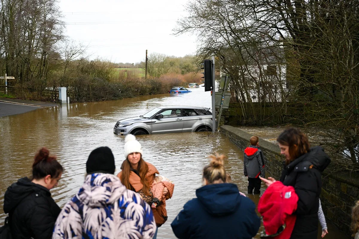
The warnings follow the disruption caused by Storm Chandra, which forced schools to close and left an estimated 50 properties affected by flooding in Somerset, according to Somerset Council, with impacts in Ilminster, West Coker, Taunton, Mudford and West Camel. Met Office meteorologist Kathryn Chalk said further rain is on the way after a wet January, and urged people in the southwest to take care.

“There is already a yellow rain warning in force, so we could see further disruption and more flooding,” she said. “So do take care, and do keep an eye on the forecast for this if you're based in the south west.” Temperatures will feel chilly, with highs of up to 10 or 11 degrees in the south, while frost and fog patches are expected overnight in western areas. The unsettled weather is set to continue, with showers or longer spells of heavy rain affecting most areas, brisk winds, and further snow on northern hills.