
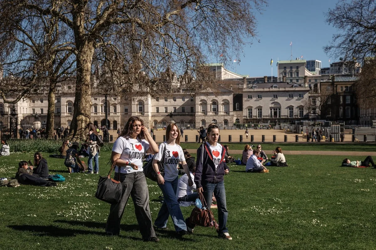
London is set to bask in warmer weather than Barcelona as temperatures climb to around 22C, bringing a taste of early summer to the capital. The warm spell comes after a mixed start to spring, which has seen everything from chilly snaps and strong winds to brighter, milder days across the UK.
According to the Met Office, Monday will see easing winds with plenty of sunshine across much of the country, along with some patchy cloud developing later in the day. Conditions are expected to improve further into midweek, with Tuesday and Wednesday turning both warmer and breezier, while sunshine remains widespread.
Temperatures in London and the south east could peak at around 22C on Wednesday, well above the seasonal average for April, which typically sits closer to 13C. The sweltering temperatures will see the capital rival or even beat parts of southern Europe, with London briefly hotter than Barcelona during the spell.

The Met Office has warned that while high pressure will bring dry and sunny weather for many, more changeable conditions could return later, with the potential for rain and unsettled weather moving in. For now though, Brits can expect a welcome burst of warmth, with clear skies and rising temperatures offering a rare spring boost after weeks of unsettled conditions.


