
Just as the UK basks in a final gasp of unseasonable warmth, a harsh reality check is looming on the horizon. Forecasters are warning of a dramatic and abrupt shift in the weather, with a biting Arctic blast poised to send temperatures into a nosedive.
The startling cooldown is expected to strike with vengeance later this week, sweeping away the recent mild conditions and replacing them with a wintry mix of frost, ice, and even snow for some regions.
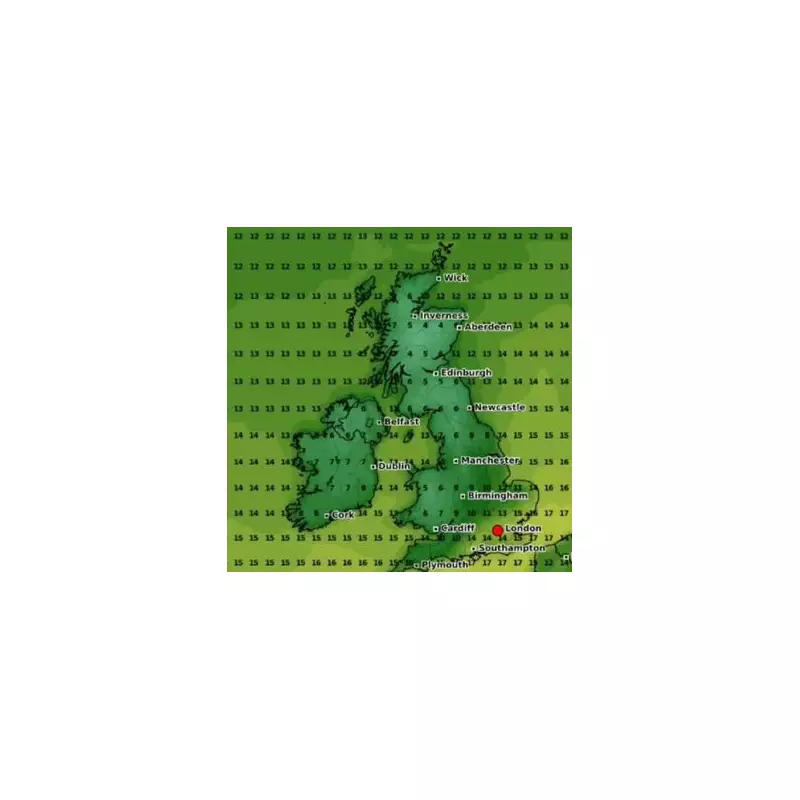
The Icy Countdown: When Will The Freeze Arrive?
After a positively balmy start to the week for many, the drastic change is scheduled to begin its march across the country from the north on Thursday, May 9th. This Arctic airmass will then engulf the entire nation through Friday and into the weekend, making it feel more like January than early May.

This serves as a stark reminder that despite the calendar inching towards summer, the UK's weather remains fiercely unpredictable.
From Suncream to Scrapers: A Regional Forecast
The dramatic drop will be felt nationwide, but some areas will bear the brunt more than others.
Northern Scotland and Highlands: These regions will be the first to feel the freeze and are most likely to see significant snowfall accumulations over higher ground, with potential travel disruption.
Northern England and Wales: Residents can expect a sharp drop in mercury, widespread overnight frosts, and a distinct chance of wintry showers, especially on high ground.
The South and Midlands: While perhaps escaping the snow, these areas will not escape the cold. Daytime temperatures will struggle, and widespread, hard overnight frosts are expected, posing a threat to sensitive plants and crops.
Why Such a Dramatic Swing?
This rollercoaster from mild to severe cold is due to a shift in wind direction. Currently, winds are drawing up warmer air from the south. However, a shift to a northerly airflow later this week will open the door for a direct feed of bitterly cold air originating from the Arctic Circle, sending a shiver down the nation's spine.
This pattern is not entirely unusual for May, which can often be a month of weather contrasts, but the severity of the predicted drop is certainly notable.
Staying Safe in the Sudden Cold
With such a rapid change expected, it’s wise to be prepared. Gardeners should consider protecting vulnerable plants from the frost. Motorists, particularly those travelling in northern regions, should be aware of the risk of ice and potential snow on higher routes. And everyone will be digging those winter coats back out from the back of the wardrobe.
After this cold interlude, the question on everyone's mind will be how long it lasts. While some uncertainty remains, indications suggest a gradual return to more seasonal temperatures may follow into the following week.


