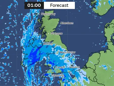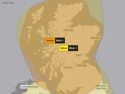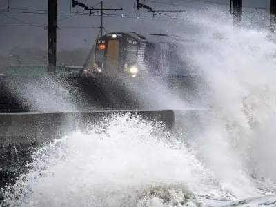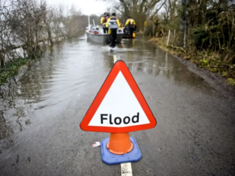
Ten flood warnings, meaning flooding is expected and people should 'act now', remain in force across the North West on Monday night, alongside a number of flood alerts, after Storm Austen and Storm Boelo battered the UK over the weekend.
As of 9.30pm tonight (October 26), the Environment Agency has issued flood warnings across Lancashire, Cheshire, Cumbria and Merseyside, while flood alerts, which mean flooding is possible and people should be prepared, are also in place in those counties. There are currently no alerts or warnings in place for Greater Manchester itself.
Flood warnings in force
The flood warnings cover coastal areas and river estuaries. In Lancashire, the warning applies to the coast at Oxcliffe Hill Farm, Heaton, Bazil Point, Sunderland Point, Sunderland Brows Farm and Alderley Bank.
In Cheshire, the Mersey Estuary warning covers Chester Road between Brian Bevan Island and Arpley Railway Bridge, and Arpley Road in Warrington.
Cumbria has the most warnings, covering the coastline from Gretna to Silloth including properties at Skinburness, Whinclose, Port Carlisle, Salt Cotes, Kirkbride, Boustead Hill and Longburgh; the coastline from Silloth to St Bees including Maryport, Flimby, Workington and Whitehaven; the coastline from Silloth to St Bees Head including Whitehaven town centre, Whitehaven North Beach, Parton, Workington, Flimby and Maryport; Keswick Campsite flooding from the lake; the coastline from St Bees Head to Haverigg including Seascale, Ravenglass, Saltcoats and beach front properties at Coulderton, Nethertown and Braystones; and two warnings covering the coastline from Barrow in Furness including West Shore Park, Biggar Bank Road, Tummer Hill Marshes, Rampside, Roa Island, Vickerstown, Cavendish and Ramsden Docks, Salthouse Mills and Roosecote Power Station, and West Shore Park, Biggar Bank Road, Biggar, Tummer Hill Marshes, Rampside, Roa Island and Vickerstown.
In Merseyside, the warning covers the coastline including Marine Point Leisure and Retail Park and properties on King's Parade and Marine Promenade in New Brighton.
Flood alerts remain in place
Flood alerts, which mean flooding is possible and people should be prepared, are also in force. In Lancashire, these cover the Ribble Estuary including Freckleton Marsh, Riversway Docklands, Lower Penwortham, Hutton Marsh, Longton Marsh, Becconsall Marsh, Much Hoole Marsh, Bretherton Eyes, Croston Finney, Hesketh Out Marsh and Hundred End; the Wyre Estuary including Tiger's Tail, Wyre Dock, Burrow's Marsh, Burn Naze, Thornton, Trunnah, Stanah, Poulton-le-Fylde, Skippool, Hambleton, Cold Row, Little Singleton, Little Eccleston and Crow Woods; the coast from Fleetwood to Blackpool including Fleetwood, Larkholme, Broadwater, Cleveleys, Rossall Beach, Anchorsholme, Blackpool and Revoe; the coast including Sandylands, Middleton, Sunderland, Bank Houses, Hillam, Sand Side and Cockerham Moss; and the Lune Estuary including Aldcliffe Marsh, Heaton Marsh, Marsh, Greyhound Bridge, Skerton Bridge, Newton, Overton, Middleton, Glasson, Conder Green, Conder Bridge and Thurnham Moss.
In Cheshire, alerts cover Parkgate, Neston and Puddington, continuing to Blacon and Saltney, Chester, and the Mersey estuary near Warrington, with areas at risk including Fiddlers Ferry, Eastford Road, Arpley Bridge, Knutsford Road, Howley, Kingsway North and Westy.
Merseyside alerts cover areas including Liverpool, New Ferry, Woodside, Ellesmere Port, Runcorn, Widnes and Hale Village; land at the head of the Wirral from Hoylake to New Brighton including parts of Leasowe and Wallasey; and land from Hilbre Island and along the coast from West Kirby to Heswall.
Cumbria alerts cover the coast at North Morecambe Bay from Roosebeck to Carnforth including low lying areas around Ulverston, Greenodd, Haverthwaite, Flookburgh, Grange-over-Sands, Levens, Milnthorpe, Sandside, Arnside and Silverdale; the Duddon estuary including Haverigg, Millom Marsh, Foxfield, Sandside and Dunnerholme; the rivers Brathay, Rothay and Winster and other watercourses from Grasmere to Grange-over-Sands including low lying areas around Ambleside, Skelwith Bridge, Windermere, Hawkshead, Newby Bridge, Backbarrow, Cark and Cartmel; the Upper Derwent from Seathwaite to Derwent Water; and the rivers Caldew and Petteril from the Lakeland Fells to Carlisle including Greystoke, Newton Reigny, Plumpton, Stockdalewath, Sebergham and Denton Holme in Carlisle.
The weekend storms left hundreds without electricity and caused widespread travel disruption across the UK.