For the first time, the vast and mysterious landscape hidden beneath Antarctica's colossal ice sheet has been revealed in unprecedented detail, surpassing even our knowledge of the Martian surface. A groundbreaking new study has produced the most comprehensive map to date, uncovering a dramatic world of mountains, deep canyons, expansive plains, and tens of thousands of previously unknown hills.
Unveiling a Continent Beneath the Ice
Published in the prestigious journal Science, the research represents a monumental leap in our understanding of the frozen continent. The international team, led by glaciologists from the University of Edinburgh and France's Institut des Geosciences de l'Environnement, employed a sophisticated technique known as ice-flow perturbation analysis. This method uses high-resolution satellite data to infer the shape of the bedrock below by studying how the ice sheet's surface flows and deforms over it.
This approach allowed scientists to map the entire continent, filling in critical gaps left by traditional radar surveys conducted from planes or snowmobiles. "These surveys often have gaps of 5 km or 10 km between them, and sometimes up to 150 km," explained lead author Helen Ockenden. The new method provides a continuous, continent-wide picture, showing how all the hidden landscape features connect.

A Crucial Tool for Predicting Future Sea-Level Rise
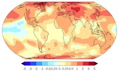
The map's importance extends far beyond mere cartography. Understanding the precise shape of Antarctica's bedrock is vital for accurately predicting how the ice sheet will respond to climate change. Rugged terrain like jagged hills and mountains can act as a brake, slowing the ice's retreat towards the ocean.
"Having the most accurate map of Antarctica's bed shape is crucial," emphasised Professor Robert Bingham, a glaciologist at the University of Edinburgh and a lead author of the study. "The shape of the bed controls friction against ice flow, which we must include in models projecting how rapidly Antarctica's ice will flow, melt, and contribute to global sea-level rise." The researchers hope this data will directly inform forecasts by the UN's Intergovernmental Panel on Climate Change (IPCC).
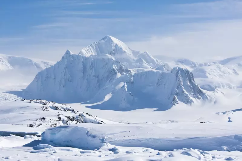
A Landscape of Extremes, Far From Boring
The findings paint a picture of a continent as topographically diverse as any other. Antarctica, which is roughly half the size of Africa, was shown to contain towering ranges and immense flat plains. The team identified over 30,000 previously uncharted hills, each defined as a protuberance of at least 50 metres (165 feet).
"Boring it is not," Bingham stated. He noted that the revealed landscapes, including plateaus dissected by deep glacier valleys, are strikingly familiar to those found in Scotland, Scandinavia, and northern Canada. The Antarctic Ice Sheet, which holds about 70% of the planet's freshwater, averages 2.1 km (1.3 miles) in thickness, hiding a bedrock shaped before the continent froze over 34 million years ago.
This new window into the subglacial world not only solves a long-standing geographical mystery but also provides an indispensable tool for scientists racing to model our planet's future in a warming world.