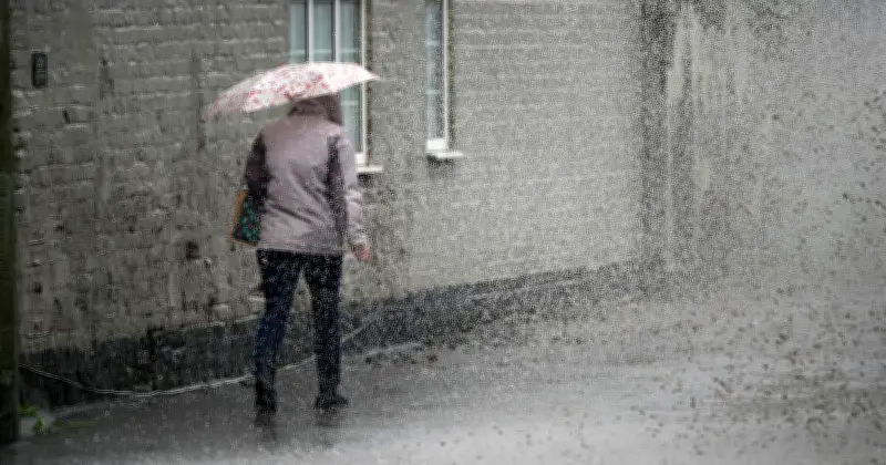
The Met Office has warned of heavy rain and thunderstorms across parts of the UK on Tuesday, naming 15 areas expected to be most affected. Showers will be most frequent in northern regions, with some turning heavy and thundery, while rain may also spread into Wales and south-west England.
Chilly Start and Overnight Downpours
The wet weather will be accompanied by a chilly start, with rural temperatures potentially falling into the mid single figures, below average for this time of year. Met Office meteorologist Annie Shuttleworth noted that northwestern areas face the greatest overnight risk of downpours, with northeastern Scotland expected to bear the brunt of the wet weather throughout Tuesday.
Rain bands have already been tracked across parts of Scotland, northern England, the Midlands, Wales, and the South West. Although many southern and eastern areas are expected to enjoy dry spells and sunshine, isolated showers remain possible. A brisk westerly wind will also keep conditions feeling cool as the unsettled spell continues.

Official Forecast for Tuesday
The Met Office's official forecast for Tuesday states: "Sunny spells and showers. Showers most frequent in the north where they could be heavy and thundery at times. A cool feeling day for the time of year." Forecasters say the unsettled spell will develop overnight, with some parts of the UK seeing heavy bursts of rain before the start of the day.
Ms Shuttleworth added: "There's a risk of showers, most notably across more northwestern areas, but they could also push into parts of the southwest of England, parts of Wales, as well, overnight. Some of these could turn quite heavy as well." While many places are expected to enjoy spells of sunshine, northern parts of the country are likely to bear the brunt of the wet weather.
Regions Most Affected
The full list of areas facing heavy rain and thunderstorms includes:
- Northeastern Scotland
- Northwestern Scotland
- Eastern Scotland
- Northern England
- North East England
- North West England
- Yorkshire and Humber
- The Midlands
- North Wales
- South Wales
- South West England
- Cornwall
- Devon
- Southern England (isolated showers)
- Eastern England (isolated showers)
Wetter Days Ahead
There is little sign of the unsettled weather ending on Tuesday, with forecasters warning of a wetter spell later in the week. Thursday is anticipated to be the wettest day, as a weather system moves into the west, turning heavy on western-facing hills. Showers are expected to continue into Wednesday before more persistent rain arrives from the Atlantic. Temperatures are also forecast to remain below average for much of the week.
However, the Met Office says conditions should gradually improve, with warmer and drier weather returning towards the weekend.