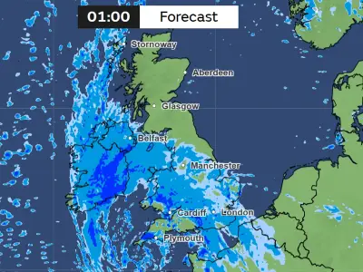
Britain is preparing for its third storm in five days, with Storm Chloe expected to arrive on Tuesday (October 27), bringing another low pressure system across the Atlantic that could drench the UK once more.
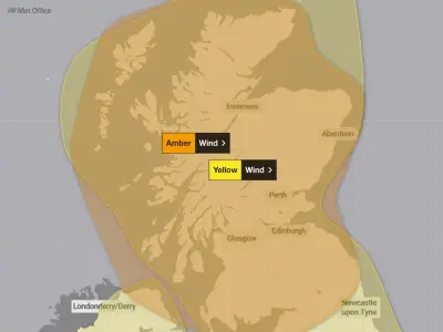
A yellow wind warning is in place from 3am on Tuesday until midnight, with the north of the UK set to experience the worst conditions again. All of Scotland, except Shetland, has been told to expect winds of up to 70mph, with the most severe conditions predicted on the coast.
Wind Warning Details
The warning states: "Strong west to southwesterly winds are expected to spread across much of Scotland, the north of Northern Ireland and northern England on Tuesday."
"Gusts of 50-60 mph are possible quite widely and some coastal or exposed areas could see gusts of 70 mph or more, but at this time there is some uncertainty in where, and how strong, the peak gusts will be."
"The strongest of the winds will reduce from the southwest later on Tuesday, with the far north of Scotland the last to see winds ease."
Impact of Recent Storms
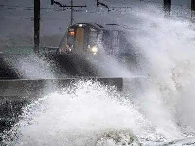
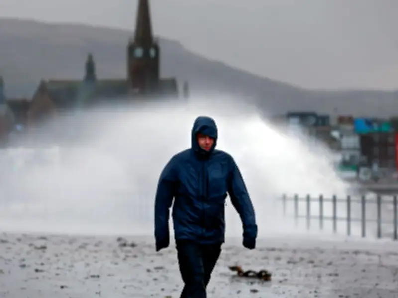
The third wave of wet weather follows Storm Austen on Saturday and Storm Boelo on Saturday and Sunday. Power cuts hit 838,700 British properties during Boelo and its predecessor, Storm Austen. By 7pm on Sunday, 90,600 customers were still without power, according to the Energy Networks Association, which represents operators in the UK and Ireland.
A 60-year-old man died after being hit by a falling tree in Dumfries and Galloway, western Scotland, at about 10.30am on Sunday. Two women were also taken to hospital after being struck by another falling tree in Aberfeldy, Perth and Kinross.
Recovery Efforts Underway
First Minister John Swinney met senior politicians, emergency teams and forecasters on Sunday to discuss the ongoing response to the weather, amid warnings that similar conditions will return early next week.
After the meeting, Stuart Wilson, of Transport Scotland, said "significant recovery work" is required before the network returns to normal.