
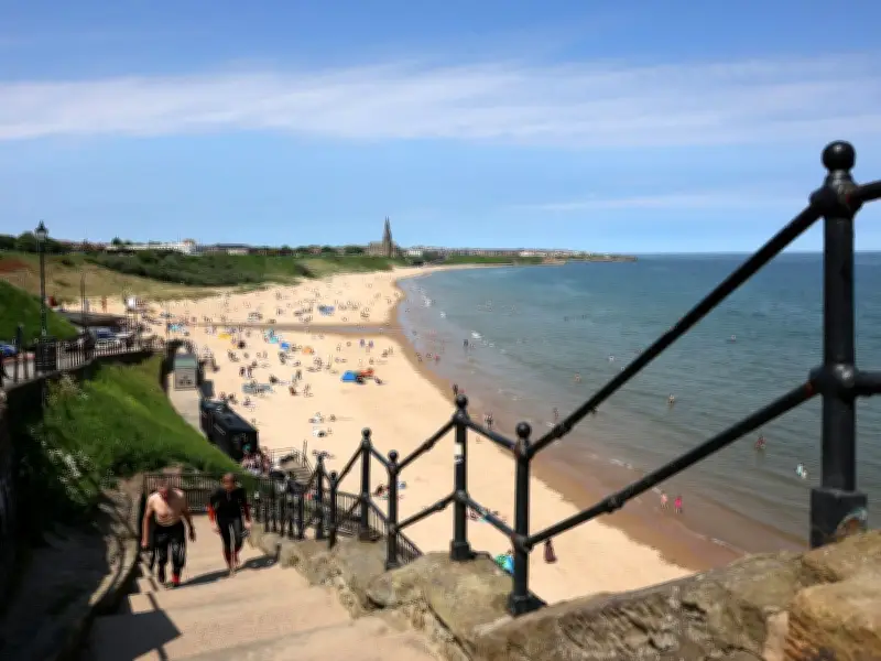
The Met Office has provided its verdict on when the North East could next experience a heatwave, as the region endures a period of cooler weather after multiple record-breaking hot spells across the UK. Despite the North East missing out on recent scorching conditions, Friday July 17 saw UK temperatures exceed 30°C for the 13th consecutive day, according to the Met Office. Cooler conditions are now forecast nationwide as schools break up and families begin summer holidays.
Weekend Weather: Cloudy Start, Brighter Later
The weekend began with a cloudy Saturday morning (July 18) in the North East, with light rain or drizzle. The afternoon is expected to bring drier and brighter conditions with sunny spells, though isolated showers may persist along the coast where it will be breezier and cooler. Temperatures across the region will reach highs of just 18°C on Saturday, followed by a cooler night. Sunday (July 19) is set to be drier with patchy morning cloud, prolonged afternoon sunshine, and highs of 21°C.
Next Week: Average Temperatures, No Scorcher
Looking ahead to next week, the Met Office forecasts temperatures to be average or slightly above for the time of year. Largely dry and cloudy conditions are expected, mixed with sunny spells, but those hoping for a scorcher to start the summer holidays will be disappointed. In Newcastle, temperatures are expected to reach 19°C on Monday (July 20), climbing to 22°C on Tuesday and Wednesday, before peaking at 23°C on Thursday (July 23).
August Heatwave Possible, Says Met Office
Although conditions are subject to change, Met Office forecasters indicate that another heatwave could be on the cards in August. The UK long-range weather forecast from August 1 to August 15 states: "Confidence is always low at these lead times, especially during the summer, but signs are that high pressure will return to bring settled and mainly dry weather, especially across the south. While some showers or longer spells of rain may still affect northern parts at times early in the period, these are expected to become less frequent if dry and warm conditions extend northwards." The forecast adds that although most areas may see dry weather with sunny spells, occasional showers or thunderstorms cannot be ruled out. Temperatures are likely to remain above average overall, with the potential for further hot spells, particularly in the south.
Travel Disruption Expected as Holidays Begin
The RAC estimates that 14.1 million UK motorists will make journeys for holidays or day trips between Friday and Sunday, the second highest since it began tracking data in 2016. Most schools in England and Wales have broken up for the summer holidays this week or will do so early next week, while the academic year has already ended in Scotland and Northern Ireland. The RAC predicts Saturday will be the busiest day on the roads for getaway journeys, with 3.8 million planned, while Friday and Sunday will each see an estimated 3.4 million. The Port of Dover expects about 7,500 outbound cars on Friday, rising to nearly 10,000 on Saturday, as the RAC warns that south-west and north-west England are likely to see the most leisure traffic.




