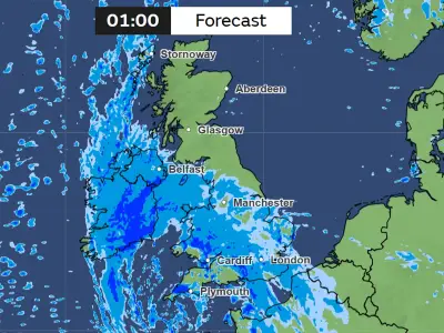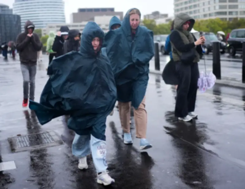
London began Tuesday with heavy rain as the Met Office kept a yellow weather warning for strong winds in place for other parts of the UK following a deadly storm. Rain in the capital is expected to last until almost 9am before brightening up towards late afternoon, with temperatures peaking at 16C and humidity above 85%.
Storm Boelo aftermath
Storm Boelo battered the north of the UK over the weekend, bringing gusts of 84mph. Two men were killed by falling trees on Sunday, including a man in his 20s who died in Mill Hill, north London, after his car was crushed while he was driving. Power cuts hit 838,700 properties during Boelo and its predecessor, Storm Austen.
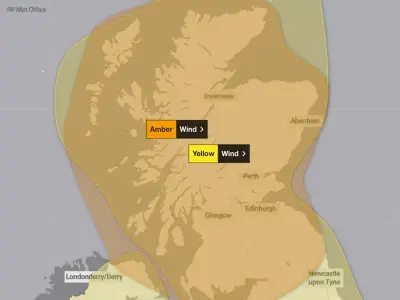
The Met Office said a yellow weather warning for strong winds and potentially damaging gusts is in place until 9pm on Tuesday for most of Scotland and the far north-east of Northern Ireland. A yellow wind warning for western areas of England and parts of Scotland, Wales and Northern Ireland expired at 3am.
Tuesday forecast and high pressure build
Early rain is set to clear across eastern and south-eastern England, while heavier rain in the north west of Scotland will gradually turn to showers, the Met Office said. The strongest winds will continue to affect Scotland, particularly in the far north and north west, where gusts in excess of 70mph are possible.
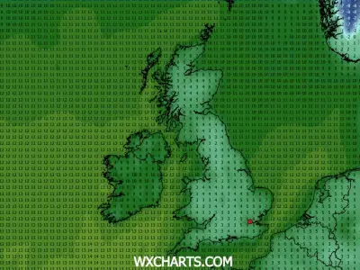
Conditions will begin to settle down from Wednesday as high pressure increasingly influences the UK, bringing lighter winds and drier weather across much of the country on Wednesday evening and Thursday. Western areas may remain breezy with a few light showers, while mist and fog could be dense and slow to clear, leaving some areas chilly and grey.
Outlook for the weekend
Approaching the weekend, London and the southeast are likely to see brighter weather, with temperatures remaining close to or slightly above average for the time of year, according to the national forecaster. High pressure is forecast to keep England and Wales mostly dry on Friday, with morning fog clearing to sunny spells and temperatures of 13C to 16C.
A north-south weather split may then develop over the weekend, with rain affecting northern Britain on Saturday and into the night, while southern areas remain mostly dry under high pressure. Mist, low cloud and fog could create murky conditions across parts of England and Wales on Halloween, so people with outdoor plans should monitor weather updates, the forecaster said.
Greg Dewhurst, senior operational meteorologist at the Met Office, said: “Most will have a day of sunny spells and blustery showers on Tuesday, showers heaviest and most frequent in the north. Thereafter for the week ahead we see a change in the weather. High pressure will build from the south over the coming days so generally settling down but potentially bringing some overnight fog at times. This high pressure looks set to remain over the UK for the weekend too. So most places dry, though perhaps some patchy rain in the north at times. Temperatures by day will be near or a little above average reaching around 12-16C, though perhaps some chillier nights are possible by the end of the week as high pressure builds in.”