
Hurricane Erin has strengthened into a category 5 storm as it moves through the north-east Caribbean, the National Hurricane Center (NHC) reported on Saturday. The storm, described as 'catastrophic', is not expected to make landfall in the US but is bringing heavy rain and strong winds to nearby islands.
As of Saturday, Erin was located 105 miles north-east of Anguilla, with maximum sustained winds of 160mph. It was moving west at 17mph and forecast to pass near the Leeward Islands, bringing 2-4 inches of rain, with up to 6 inches in some areas. The NHC warned of flooding and landslides on islands including Puerto Rico, the Virgin Islands, and Hispaniola.
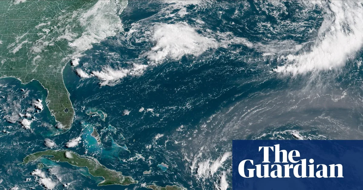
Swells from Erin are expected to affect the northern Leeward Islands, the Virgin Islands, Puerto Rico, Hispaniola, and the Turks and Caicos Islands through the weekend. These swells will spread to the Bahamas, Bermuda, and the US east coast early next week, creating dangerous rip currents.

The storm underwent rapid intensification, with winds more than doubling from 70mph on Friday to 145mph on Saturday. Erin is the first major Atlantic hurricane of 2025 and is expected to strengthen further over warmer-than-normal ocean waters. The NHC forecasts that Erin will at least double or triple in size by mid-week, causing rough conditions in the western Atlantic.
In response, the US government has deployed over 200 Federal Emergency Management Agency (Fema) employees to Puerto Rico. A flood watch is in effect for the entire territory from late Friday into Monday. Puerto Rico's housing secretary said 367 shelters have been inspected and could be opened if needed. The US coast guard closed six seaports in Puerto Rico and two in the US Virgin Islands to incoming vessels without prior authorisation. The Bahamas also prepared public shelters as a precaution.


