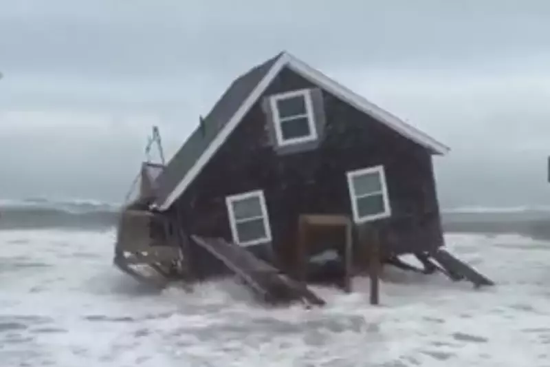
North Carolina residents are battening down the hatches as weather officials issue urgent warnings about impending severe flooding across the state. The dangerous conditions are being driven by a perfect storm of meteorological factors, including the lingering effects of Hurricane Humberto and the devastating remnants of Tropical Storm Imelda.
State of Emergency as Waters Rise
Emergency services have been placed on high alert as torrential rainfall threatens to overwhelm drainage systems and river banks. Several counties have already begun implementing evacuation protocols in low-lying areas, with rescue teams positioned strategically throughout vulnerable regions.
Meteorologists are describing the situation as particularly dangerous due to the convergence of multiple weather systems. The ghost of Hurricane Humberto, though now downgraded, continues to influence weather patterns while Tropical Storm Imelda's remnants deliver unprecedented moisture levels to the region.
Transportation Chaos and School Closures
Major transportation routes have been severely affected, with numerous roads becoming impassable due to rising floodwaters. School districts across multiple counties have announced preemptive closures, while businesses in flood-prone areas are taking emergency measures to protect property and inventory.
Local authorities are urging residents to:
- Avoid unnecessary travel
- Prepare emergency evacuation kits
- Monitor official weather channels
- Move vehicles to higher ground
- Check on vulnerable neighbours
Historical Context and Climate Concerns
Weather experts note that this event bears similarities to previous devastating floods that have hit North Carolina, though the combination of factors makes this situation particularly volatile. Climate scientists have pointed to increasing frequency of such extreme weather events as evidence of changing climate patterns affecting coastal regions.
Emergency management officials stress that the situation remains fluid and could deteriorate rapidly. Sandbag distribution points have been established in multiple locations, and temporary shelters are being prepared for potential evacuees.
The National Weather Service continues to monitor the situation closely, with updates expected throughout the coming days as the weather systems develop and move through the region.


