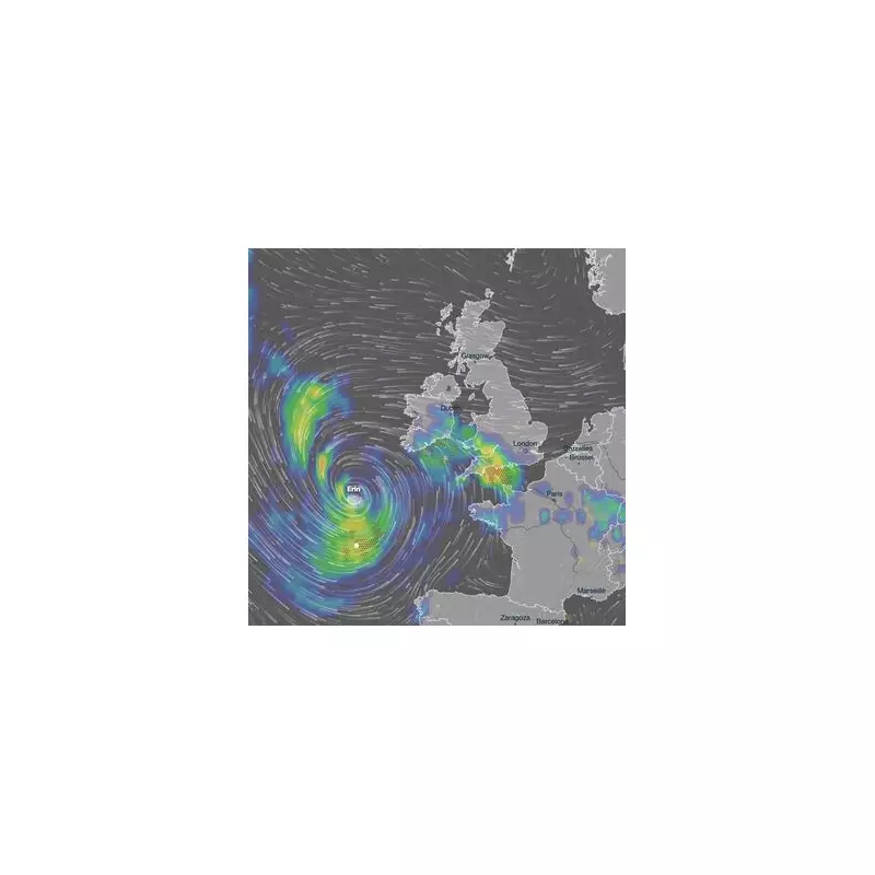
The ghost of Hurricane Erin is set to haunt British shores this week, as the Met Office warns the powerful ex-tropical storm is barrelling towards the UK with a potentially disruptive punch.
After wreaking havoc across the Atlantic, the remnants of the hurricane are forecast to merge with a separate deep area of low pressure, creating a formidable weather system poised to hit from Tuesday onwards. Forecasters are closely tracking its path, warning it could be a named storm.
Gale-Force Gusts and Torrential Downpours
The primary threats are severe gales, with wind speeds potentially reaching a damaging 60-70mph, particularly in exposed coastal regions and high ground. The storm is also expected to dump significant rainfall, raising serious concerns for localised flooding and travel mayhem.
Met Office Deputy Chief Meteorologist, Mark Sidaway, stated: "There’s a chance this low pressure could become a named storm… The main theme of the forecast is a trend towards more unsettled weather through the second half of the week, with this feature likely to play a key role."
A Week of Escalating Turbulence
While Tuesday will see a mix of sunny spells and scattered showers for most, the real action begins on Wednesday. The newly formed system is predicted to drive intense rain and strengthening winds across many areas, marking a dramatic shift from the recent calm.
The Met Office forecast indicates: "A combination of showers and longer periods of rain will spread across the UK, heavy at times, with a risk of thunder. It will also become increasingly windy, with a risk of gales around exposed coasts."
Uncertainty Remains on Exact Impacts
Although the storm's precise track is still being finalised, the warning is clear: the public should stay updated on the latest forecasts. The potential for fallen trees, damage to temporary structures, power cuts, and cancellations to road, rail, air, and ferry services is significant.
This bout of stormy weather is a stark contrast to the recent settled conditions and serves as a brisk reminder that autumn is fast approaching.


