
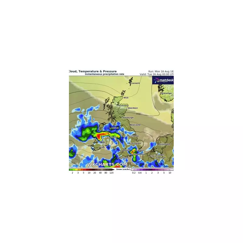
The ghost of Hurricane Erin is poised to unleash chaos across the UK, with meteorologists warning of a brutal assault of wind and rain directly from the Atlantic. Fresh weather maps chart a concerning path for the storm's remnants, showing a beeline for British coastlines that promises travel disruption and potential damage.
The Met Office has escalated its warnings, indicating that the storm system formerly known as Hurricane Erin will maintain significant strength as it crosses the ocean. Forecasters predict the UK will bear the brunt of its fury, with wind speeds potentially reaching a destructive 70mph.
When Will the Storm Hit?
Britons are urged to brace for impact starting Wednesday night into Thursday. The initial blow will be felt across Northern Ireland and western Scotland before the system engulfs the majority of the country through Thursday and Friday.

A Nation Braced for Impact
This is not just a typical autumn blow. The storm carries the potent energy of a former hurricane, which means:
- Dangerous travel conditions: Drivers of high-sided vehicles are warned of particular risk on exposed roads and bridges.
- Coastal threats: Large waves and beach material being thrown onto sea fronts, coastal roads, and properties are likely.
- Power disruptions: Damage to infrastructure could lead to temporary loss of power and other services.
- Torrential downpours: Heavy rainfall will accompany the winds, leading to potential surface water flooding and difficult driving conditions.
The Met Office advisory stresses that injuries and danger to life from flying debris are possible. The public is advised to secure loose items outside their homes and to reconsider travel plans during the peak of the storm.
A Familiar Threat from Across the Pond
This event highlights a recurring weather pattern where ex-hurricanes make their way across the Atlantic, often rejuvenated by the jet stream. While they lose their tropical characteristics, they can still pack a severe punch, bringing the UK some of its most extreme weather events of the season.
Residents are advised to stay updated with the latest forecasts from the Met Office and local authorities as the situation develops.


