Hurricane Erin, a large category 2 storm with winds reaching 105mph, was slowly moving away from the North Carolina coast on Thursday morning after battering the state's Outer Banks with intense winds, large waves, storm surge and flooding. While Erin is not expected to make landfall, weather officials warn that the storm's effects are not over yet.
On Wednesday, North Carolina's governor, Josh Stein, declared a state of emergency, deploying emergency resources and personnel to assist coastal communities. Mandatory evacuation orders were issued for Ocracoke and Hatteras islands, with more than 2,000 people evacuated. By Wednesday evening, Highway 12 on Hatteras Island was closed due to worsening weather conditions, with sections completely submerged.
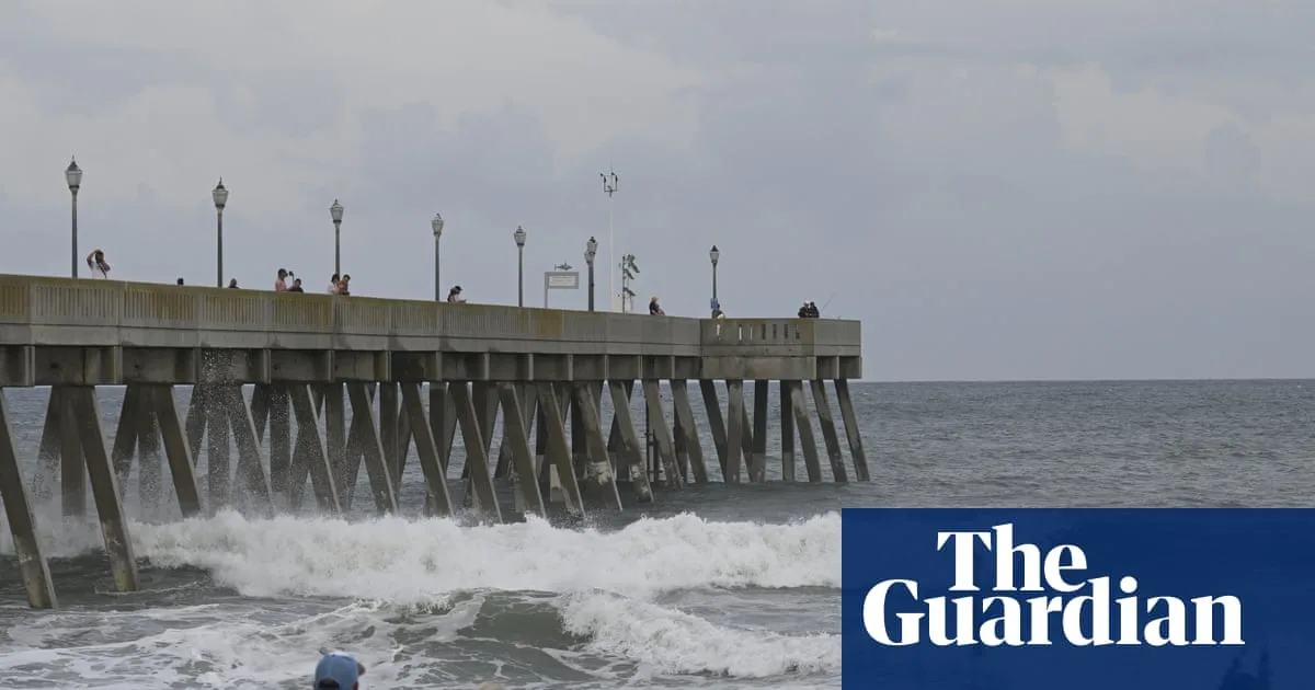
The National Weather Service warned early on Thursday that parts of coastal North Carolina could continue to face flooding, storm surge and high surf throughout Thursday and into Friday. A storm surge warning remains in effect, with water levels expected to rise two to four feet above ground level in some areas. The agency said numerous roads would likely be impassable under several feet of water and advised moving vehicles to higher ground.

Tropical storm conditions are also expected along parts of the Virginia coastline on Thursday, and in parts of Bermuda. Tropical storm-force wind gusts are possible across parts of the mid-Atlantic and southern New England coasts through early Friday. Hazardous beach conditions are forecast along the entire east coast over the next several days, with life-threatening rip currents and strong surf.
Authorities from several states have urged residents to stay out of the water, and in some places, including New York City, beaches have been closed to swimming. Coastal flood alerts remain in place for low-lying areas from Delaware to New Jersey.