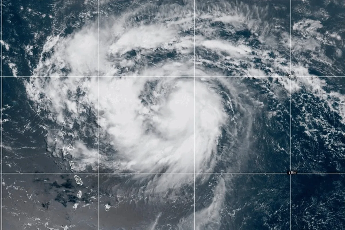
Hurricane Erin, the first major hurricane of the North American hurricane season, has strengthened into a Category 5 storm, with sustained winds reaching 160 miles per hour, according to the National Weather Service.
Forecasters do not expect the storm to make landfall along the US coast, although severe conditions on its periphery could create hazardous offshore conditions in the Atlantic. The National Hurricane Center predicts Erin will turn north after the weekend, passing between Bermuda and North Carolina's Outer Banks before heading out into the open ocean.
AccuWeather meteorologist Dan Pydynowski said the storm is expected to remain offshore of the East Coast, which is welcome news given its power. The National Hurricane Center also anticipates that Erin will double or even triple in size by the middle of next week, potentially causing rough seas across parts of the western Atlantic.

The Caribbean will feel the effects first, with heavy rainfall forecast for the northern Leeward Islands, the Virgin Islands, and Puerto Rico this weekend. Between two and four inches of rain are expected, and flash flooding is possible in some areas, the NHC said.
On the US mainland, dangerous surf conditions are likely along virtually the entire East Coast, with high waves and strong rip currents. Beachgoers on Florida's east coast from August 18 to 21 should be particularly cautious, as the storm is expected to create dangerous offshore conditions during that period.
Atlantic hurricane season runs from June 1 to the end of November, with major hurricanes typically forming between late August and mid-October. Erin, however, developed earlier after starting as a cluster of rainstorms off western Africa and intensifying over the ocean.