
Storm Chandra Unleashes Avalanche Threat Across Scottish Highlands
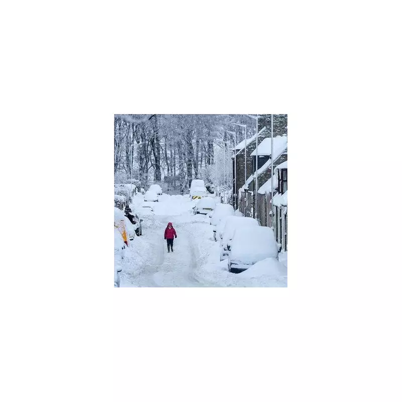
The Scottish Highlands are facing severe avalanche hazards as Storm Chandra batters the United Kingdom with powerful winds and heavy snowfall. The Scottish Avalanche Information Service (SAIS) has issued six critical warnings, including five amber 'considerable hazard' alerts, highlighting the dangerous instability of snowpack on elevated terrain.
Multiple Amber Warnings Signal Considerable Danger
Currently, five distinct regions are under amber avalanche warnings, indicating a considerable hazard where avalanches are likely. These areas include:
- Glencoe: Where persistent new snow and gale to storm-force winds are forecast, making avalanches and cornice collapse probable.
- Lochaber (near Fort William and Ben Nevis): Experiencing significant snow blowing in strong winds, with overnight showers and persistent snowfall through Tuesday elevating avalanche risks.
- Creag Meagaidh: Facing gale to storm-force easterly winds and heavy, persistent snow from early morning.
- Northern Cairngorms: Threatened by continual snowfall and an ongoing risk of collapse as snow accumulates.
- Southern Cairngorms: Where steeper, wind-sheltered areas are particularly vulnerable to likely avalanches amid storm conditions.
Additionally, a low hazard green warning is in effect for Torridon in the Northwest Highlands, where unstable windslabs above 500 metres pose a threat to valleys below.

Met Office Issues Widespread Weather Alerts
Complementing the avalanche warnings, the Met Office has activated eight yellow weather warnings for rain and snow across Britain, alongside two amber warnings for wind and rain in the South West and Northern Ireland. A specific yellow warning for rain and snow covers much of the Scottish Highlands from 6am today until midnight.
Met Office Chief Forecaster, Paul Gundersen, emphasised the complexity of the situation: "Storm Chandra will bring a range of hazards to the UK through Monday night and Tuesday. Initially strong winds will impact the Isles of Scilly, western Cornwall and southwest Wales... Heavy rain is an additional hazard... As Chandra interacts with colder air further north snow becomes a hazard, with 10-20cm of snow possibly accumulating over higher ground in the Pennines, southern Scotland and the Highlands."
Extreme Conditions and Safety Precautions
The SAIS has reported storm-force winds exceeding 80 mph in some regions, coupled with heavy snow and severely reduced visibility, creating treacherous conditions for travel and outdoor activities. The service warns that snow depths could increase sharply with elevation, with 10-20 cm possible above 500 metres and substantially more over mountains.
Authorities are urging residents and visitors in affected areas to exercise extreme caution, stay updated with the latest forecasts, and avoid unnecessary travel to higher ground. The combination of unstable snow, powerful winds, and ongoing precipitation presents a significant risk that requires vigilant attention to safety advisories.


