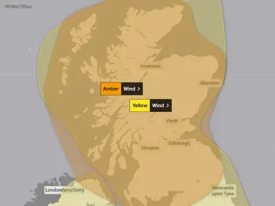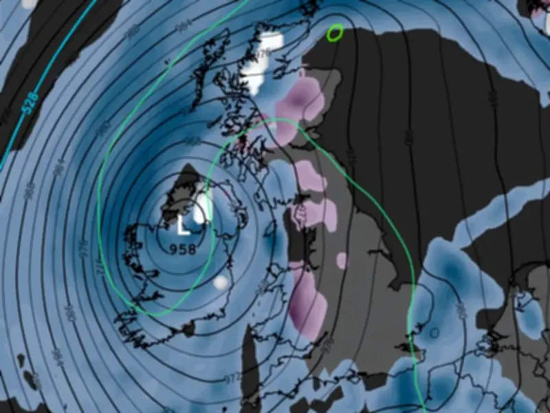
Weather models indicate that widespread snow could affect 50 counties across the UK in mid-November, with accumulations of up to 16cm possible on high ground in western Scotland.
Snowfall Timeline and Affected Areas
The GFS weather model first shows heavy snow falling in western Scotland on the morning of November 10, at a rate of around 4mm per hour. The flurries could then impact Wales in the early hours of November 11, before moving across into England.
Rain is expected to follow the snow as it heads up towards Scotland again, according to the GFS model maps. By 9pm on November 11, the flurries will once again be centred on northern Scotland and North Wales.
Accumulation Forecasts
GFS model data shows as much as 16cm (roughly six inches) could settle on high ground in western Scotland, with 13cm (roughly five inches) possible over high ground in Wales. Snow accumulations in England aren’t expected to reach much above 1cm.
In total, the GFS model maps suggest 50 counties could see snowfall across the two days, although the white stuff won’t settle on the ground in all of them.
Counties Listed by Region
In England, the counties facing snow include Yorkshire, Derbyshire, Cheshire, Shropshire, Staffordshire, Herefordshire, and Cumbria.
In Scotland, the list includes Sutherland, Ross-shire and Cromartyshire, Inverness-shire, Nairnshire, Morayshire, Banffshire, Aberdeenshire, Kincardineshire, Kirkcudbrightshire, Argyllshire, Angus, Perthshire, Ayrshire, Dunbarton, Stirlingshire, Lanarkshire, Selkirkshire, Midlothian, Dumfriesshire, Peeblesshire, and Roxburghshire.
In Wales, the counties include Blaenau Gwent, Bridgend, Caerphilly, Cardiff, Carmarthenshire, Ceredigion, Conwy, Denbighshire, Flintshire, Gwynedd, Isle of Anglesey, Merthyr Tydfil, Monmouthshire, Neath Port Talbot, Newport, Pembrokeshire, Powys, Rhondda Cynon Taf, Swansea, Torfaen, Vale of Glamorgan, and Wrexham.
El Nino and Polar Vortex Impact
This comes as experts have suggested this year’s El Nino, expected to be the strongest ever, could lead to the polar vortex collapsing, potentially bringing major snowfall this winter.
The Met Office explains: “Through the latter part of the winter, following a peak in El Nino, the stratospheric Polar Vortex can become weaker, leading to an increased chance of Sudden Stratospheric Warming events unfurling, increasing the potential for cold weather.”
Sudden Stratospheric Warming (SSW) refers to a rapid warming (up to about 50C in just a couple of days) in the stratosphere, between 10km and 50km above the Earth’s surface. This means cold air rushes downwards, impacting the jet stream and potentially creating a ‘blocking pattern’ which can keep snow and cold weather locked in place for an extended period.
This process led to the infamous ‘Beast from the East’ in 2018, a historic weather system which brought 22 inches of snow to some parts of the country in February and March of that year. Although SSW doesn’t always result in these outcomes, the Met Office says a cold snap “follows more often than not”.