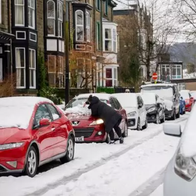
The United Kingdom is preparing for a significant winter weather event, with fresh data indicating a severe cold snap and heavy snowfall will strike on January 15. According to the latest projections from weather forecaster WXCharts, a wintry blast will sweep across the nation, bringing plummeting temperatures and disruptive snow accumulations to a dozen counties.
Deep Freeze and Heavy Snowfall Forecast
The most extreme conditions are expected in Scotland, where the mercury is predicted to drop to a bone-chilling -8°C within the Cairngorms National Park. This region is also forecast to bear the brunt of the snowfall, with depths potentially reaching up to 28 centimetres (11 inches). Wider areas of northern and central Scotland could see snow accumulations ranging from a light dusting of 3cm to a more substantial 27cm.
Further south, southern Scotland may experience lighter snow of up to 2cm, while the Lake District in England is also in line for around 1cm. Urban centres including Aberdeen and Glasgow will face sub-zero temperatures, likely hovering between -1°C and -7°C. Northern England can expect a cold spell with temperatures from 0°C to -2°C.
Counties on Alert for Disruption
The weather maps highlight twelve specific counties that should brace for the incoming wintry conditions. In Scotland, the list includes Angus, Aberdeenshire, Moray, Highland, Argyll and Bute, Perth and Kinross, Stirling, Dumfries and Galloway, Scottish Borders, and South Lanarkshire. In England, Cumbria is the primary county forecast for snow, and in Northern Ireland, Tyrone is also named.
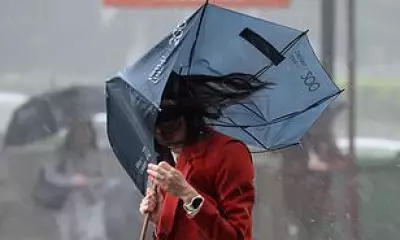
Meanwhile, the remainder of England, Wales, and Northern Ireland are predicted to experience milder, albeit unsettled, conditions with temperatures between 1°C and 5°C. The Met Office's broader outlook for this period suggests changeable weather dominated by Atlantic low-pressure systems, bringing showers, longer spells of rain, and potentially strong winds to many parts of the UK.
Wider Weather Outlook and Travel Implications
The Met Office notes that while some short-lived dry spells are possible, the overall pattern will be unsettled. They state: "Some heavy rain or showers are likely at times, most often across high ground in the west where rainfall totals will probably be highest. Periods of strong wind or gales are possible." Temperatures for the UK as a whole are expected to be close to or slightly above average for January, but the impending Arctic blast on the 15th will be a sharp, notable exception.
This forecast follows recent disruption caused by Storm Goretti, for which the Met Office had issued snow and ice warnings. The new data suggests travellers, particularly in the highlighted Scottish counties and Cumbria, should monitor updates closely as the January 15 date approaches, with significant travel disruption possible due to ice and accumulating snow.


