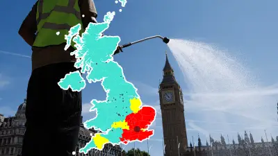
The UK is bracing for a heat surge this week, with parts of the country predicted to be warmer than popular European holiday destinations like Benidorm. According to Met Office forecasts, temperatures could reach 18C on Thursday, potentially making it the hottest day of the year so far.
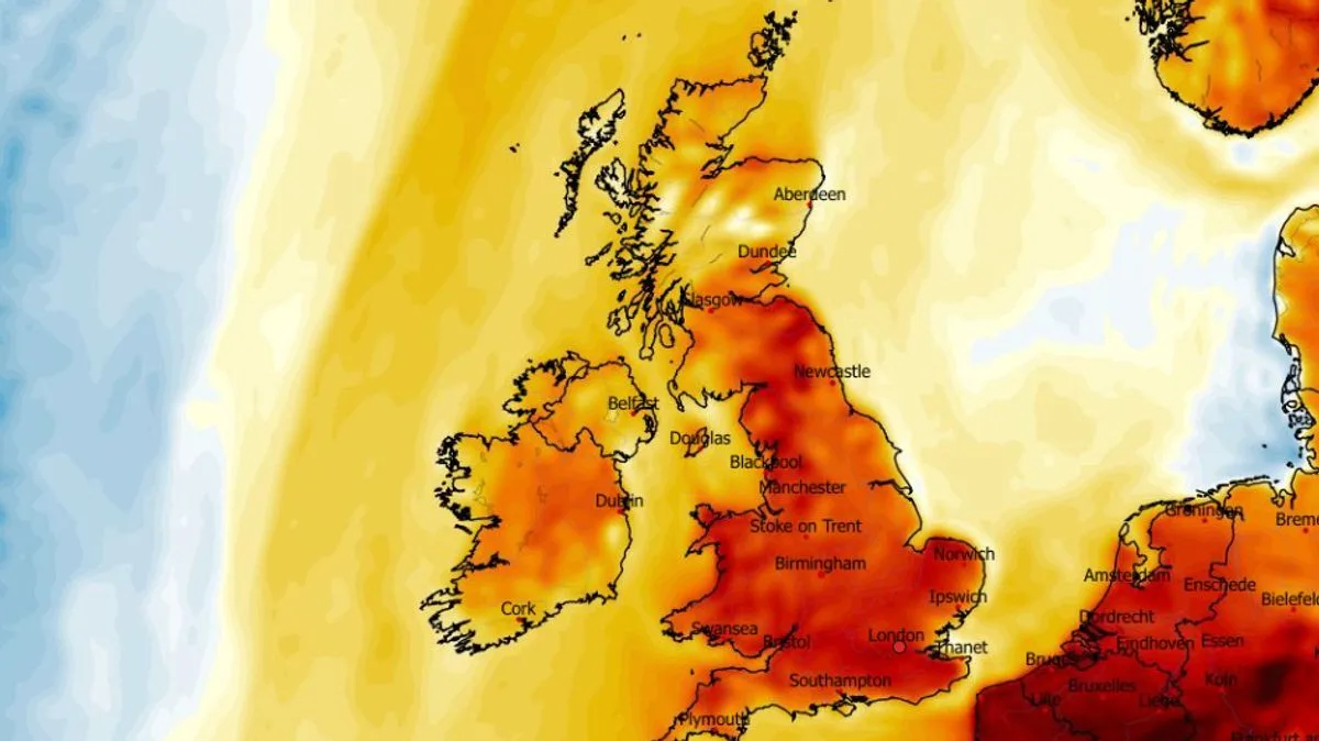
On Wednesday, the mercury is expected to hit 17C in London at 3pm, with widespread highs of 15C to 16C across England. Northern Ireland and Scotland will see cooler conditions, with 11C and 12C respectively. Thursday's forecast shows afternoon highs of 18C in London, 16C in northern England, and 15C in Wales, while Northern Ireland and Scotland may struggle to reach double digits.
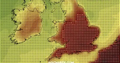
In comparison, the Met Office predicts Benidorm in Spain will only reach 14C on Wednesday and 15C on Thursday, making the UK the warmer destination. Temperature anomaly maps indicate that much of England and Wales will experience temperatures well above the seasonal average for this time of year.

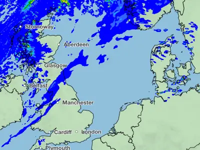
BBC Weather states that Thursday will bring a band of rain from the west, but the south-east is expected to remain mostly dry and bright. Friday will see patchy rain clearing southeastwards, with sunny spells elsewhere, while Saturday is expected to be dry for most with sunny periods. The Met Office adds that rain will affect northern and western areas on Thursday, with warm sunshine elsewhere, and conditions turning cooler later.