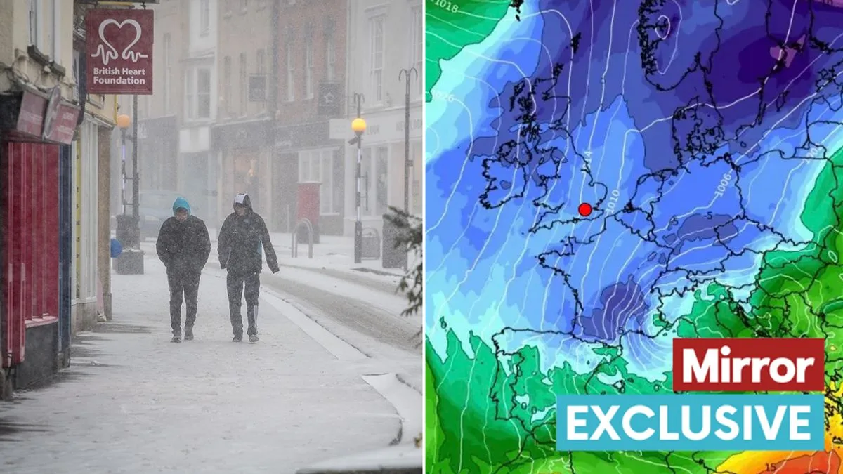
UK Snow Alert: 5-Day Freeze Maps Reveal Exact Areas Set for Arctic Blast
UK Snow Maps Reveal Five-Day Arctic Blast Forecast

Britain is bracing for a sharp plunge into wintery conditions as startling new weather maps predict a relentless five-day snow event is on the horizon. The country is set to be gripped by an Arctic freeze, with temperatures threatening to nosedive well below zero.

The most dramatic visualisations from WXCharts show a sweeping band of snow blanketing vast swathes of the nation, particularly targeting northern areas and higher ground. The icy onslaught is forecast to commence its assault from Thursday, February 15, and persist through the weekend and into the following week.

Day-by-Day Breakdown of the Wintry Onslaught

Thursday, February 15: The freeze begins its march southwards. Scotland and the north of England will see the first significant flurries, with accumulations of 2-3cm per hour in the worst-hit spots like the Scottish Highlands.

Friday, February 16: The cold tightens its grip. Snowfall becomes more widespread, pushing further south into parts of Wales and the Midlands. Icy conditions will make for treacherous travel on higher routes.

Saturday, February 17: A brief respite may occur for some, but the freeze is far from over. Sub-zero temperatures will be the norm for most, ensuring any lying snow turns to ice.

Sunday, February 18: A second potent wave of snow is modelled to arrive, potentially delivering another hefty dumping to areas already affected and extending the risk towards the northeast.

Monday, February 19: The prolonged cold spell continues, with the threat of snow showers remaining for Scotland and the east coast, alongside widespread frosts.

Regional Impacts and Travel Disruption Warning

Current projections indicate Scotland will bear the brunt of this Arctic blast, with staggering accumulations of over 20cm possible in the Grampians and the Northwest Highlands. The Pennines and Snowdonia are also in line for a notable covering.

While major low-lying cities may escape the heaviest snow, the accompanying bitter temperatures and risk of ice are universal. The Met Office is advising the public to stay updated with the latest forecasts, as details may change, and to be prepared for potential travel disruption, especially on higher routes.

This predicted snap serves as a stark reminder that winter still has a firm hold, urging Britons to dig out their warmest layers and exercise caution on the roads.