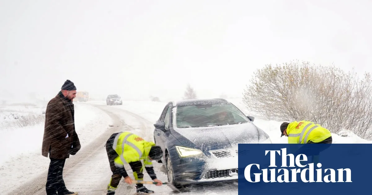
The UK has felt its first significant blast of winter, with snow, blizzards, ice and freezing temperatures causing disruption across the country. Hundreds of schools have been closed and many roads are blocked or treacherous to drive on, with power cuts also reported in some areas.
The Met Office issued eight separate yellow weather warnings for snow and ice on Thursday, covering regions from Devon and Cornwall to northern Scotland. A rare amber alert was in place for the North York Moors and the Yorkshire Wolds, where up to 25cm of snow was expected on hills and occasional blizzards were likely to cause substantial disruption.
Many parts of the UK experienced the coldest night of the season, with temperatures dropping to -6.6C at RAF Benson in Oxfordshire, -6.4C in Sennybridge in Powys and -2.8C in County Antrim. The Met Office's chief forecaster, Neil Armstrong, said temperatures could fall to as low as -10C in rural Scotland on Thursday night.

School closures were widespread, with more than 90 schools shut in Aberdeenshire, 36 in Pembrokeshire and around 30 in North Yorkshire. Major roads, including the A1 and A171, were closed or blocked by snow, and drivers were advised to stick to main routes and allow extra time. The AA's Shaun Jones warned that stopping distances can increase tenfold on icy surfaces, making slower driving essential.
The early snowfall forced Ryedale Folk Museum in North Yorkshire to close for snow for the first time in a decade, with researcher Rose Barrett noting that few snowy Novembers are on record. An amber cold health alert from the UK Health Security Agency remains in force across northern England until Saturday. Meanwhile, bookmakers have shortened odds on a White Christmas in the UK, with Aberdeen offered at 6/5, Newcastle at 7/4 and London at 7/1.