The Met Office has warned that the first snow of the winter could hit parts of the UK this Wednesday, as disruption from the Polar Vortex brings wintry showers to northern Scotland and the Northern Isles.
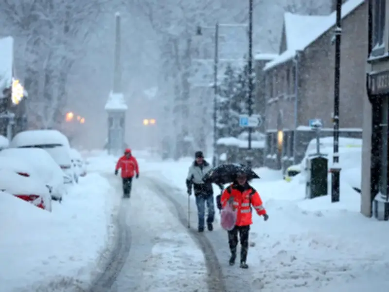
Forecasters expect snow showers to fall on lower ground, particularly in Shetland, during the overnight hours between Wednesday and Thursday. However, any settling snow is likely to be limited to higher ground.
What to Expect on Wednesday
Rain is set to continue across parts of southern England and Wales, while powerful winds are forecast for the far northeast. Temperatures in Scotland are projected to sit between 1C and 5C by 9am on Wednesday, with Plymouth registering the warmest temperature of 11C.
Met Office Chief Meteorologist Jason Kelly said: "Snow showers could briefly fall on lower ground in the far northeast of Scotland, mainly Shetland, overnight on Wednesday and into Thursday. However, snow may only settle on higher ground. Snow can fall in the far northeast from late October to May, so this is not unusual for the time of year."
Week Ahead: Fog, Rain, and Frost
The cold snap follows a mostly calm start to the week. Monday delivered a chilly and misty morning nationwide, with many people waking to temperatures as low as 3C in southern England and -3C in certain areas of Wales.
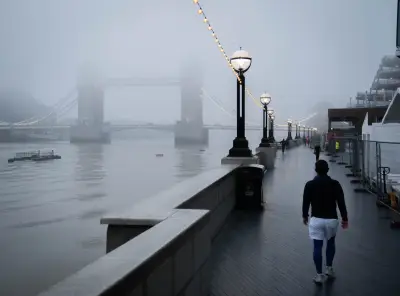
As Tuesday arrives, fog is forecast to blanket vast stretches of central and northern England and Wales, while rain sweeps in across southern regions, pushing towards southeast England and southern Wales. Frost is expected to grip further north, becoming particularly widespread across rural Scotland.
Cold Air Spreads South
The Met Office added: "Through Thursday and Friday, colder air will spread further south across the UK. Most places will become dry with some clear or sunny spells, although showers remain possible in the north and parts of the east, some of these wintry over high ground in Scotland."
Temperatures are expected to fall below average widely by Thursday and particularly Friday, as frost becomes more widespread. The far northeast will also feel particularly cold in stronger winds. This comes just days after Met Office forecasters issued warnings that the Polar Vortex could bring disruptions within weeks, with the threat of ice, fog, frost and snow as temperatures plummet.
Full List of Areas with Potential Snow
- Caithness
- Sutherland
- Ross-shire
- Cromartyshire
- Inverness-shire
- Nairnshire
- Moray
- Banffshire
- Orkney Islands
- Shetland Islands