
The UK is in the grip of a severe Arctic freeze, with fresh snow forecast for southern regions this week, threatening further disruption to schools and travel networks. Hundreds of schools in northern England and Wales were forced to close on Monday, and the icy conditions show little sign of abating as temperatures are set to plunge below -10°C.
Widespread Warnings and a 'Multi-Hazard' Threat
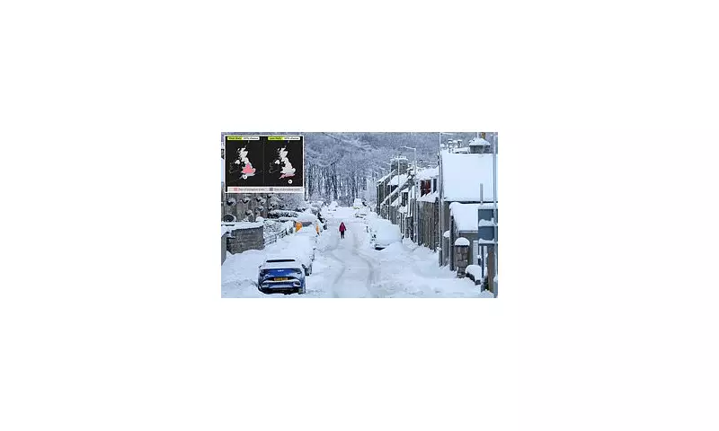
A new weather warning for snow showers is active for eastern England until late Tuesday morning, as the country endures a third day of bitter cold. The situation is expected to evolve later in the week, with a significant low-pressure system forecast to buffet the UK on Thursday and Friday.
The Met Office has described this as a potential 'multi-hazard event,' which could bring a mix of strong winds, heavy rain, and further snow. Forecasters state there is at least a 50% chance of disruptive snow across most of Wales, the Midlands, and parts of the south-east and east of England during this period.

Travel Chaos and Health Alerts
The wintry conditions have already caused significant travel mayhem. Airports including Liverpool, Aberdeen, Inverness, and Belfast International faced cancellations and delays on Monday. Rail services have been severely affected, with LNER advising passengers not to travel on the East Coast Mainline for the remainder of Tuesday. Eurostar services to the Netherlands are also disrupted.
In response to the dangerous cold, the UK Health Security Agency (UKHSA) has extended its amber cold health alerts for England until Friday. Dr Agostinho Sousa, head of extreme events at UKHSA, urged the public to check on vulnerable neighbours, warning that the low temperatures significantly increase risks of heart attacks, strokes, and chest infections.
A Brief Thaw Before Further Disruption
Despite the current freeze, a sharp contrast is expected by the weekend, with temperatures in cities like London and Bristol potentially soaring above 11°C—warmer than some parts of southern Spain. Met Office spokesperson Nicola Maxey explained, "We have cold, Arctic air over the country... As we go into the second half of the week, we are likely to see some less cold air arriving."
However, this shift brings its own dangers. Deputy Chief Meteorologist Mike Silverstone noted uncertainty around the track of the incoming low-pressure system. "The most likely scenario... is for low pressure to track near the south coast," he said, indicating heavy rain and wind to the south, with potential snow accumulation to the north where it meets the lingering cold air.
Authorities continue to urge caution. The RAC advised drivers to consider postponing journeys, while Age Scotland recommended ensuring adequate supplies of food and medication to avoid risky trips outdoors. With the coldest night of winter so far recorded at -10.9°C in Cumbria, and temperatures potentially falling to -12°C overnight, the nation is bracing for continued hardship from the relentless winter weather.


