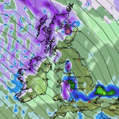
Hundreds of schools across northern Scotland will stay shut for a second consecutive day as significant snowfall and ice continue to cause widespread disruption. The Met Office has escalated its alert to an amber warning for snow, covering large parts of the north-east and northern Scotland.
Amber Warning Brings Further Travel Chaos
The Met Office's amber warning is active from 11am until 7pm on Tuesday, forecasting an additional 5 to 10cm of snow widely, with up to 15cm in some areas, particularly above 200 metres. The affected regions include parts of Aberdeen, Aberdeenshire, Moray, Highland, Angus, and Perth and Kinross.
Simultaneously, a broader yellow warning for snow and ice remains in place from Perth northwards until midnight on Tuesday. A separate yellow warning stretches from Scotland's central belt down beyond the English border until 11am on Tuesday.
Widespread Disruption to Education and Transport
The severe conditions have forced school closures across Shetland, Orkney, and Aberdeenshire, extending the festive break for pupils. The disruption follows a day of significant travel problems on Monday, which affected road, rail, and air services.
National Rail has confirmed that train services in northern Scotland will be disrupted until the end of Tuesday, although ScotRail aims to run morning services between Aberdeen and Dundee. Several key roads, including the A939 between Tomintoul and Cockbridge in Banffshire, remain closed due to snow.
Air travel has also been hit, with Loganair cancelling flights from Aberdeen and Inverness airports on Monday. Numerous services to and from Sumburgh airport in Shetland and Kirkwall in Orkney were also grounded.
Further Snow Forecast for the UK
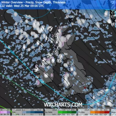
Looking ahead, the weather picture remains unsettled for the rest of the UK. Forecasters warn that disruptive snow, wind, and rain could hit parts of southern England later this week. This is due to an Atlantic low-pressure system meeting an Arctic airmass over the country.
The Met Office indicates that parts of southern England may see some snow on higher ground on Thursday and Friday. Northern and central areas of England could also face further snow, alongside rain and strong winds, depending on the precise track of the Atlantic system.
For areas under the ongoing yellow alert, an additional 2-5cm of snow is likely fairly widely, with a potential for 10-15cm in some spots. Further south, from the central belt, forecasters predict mainly light snow with most places seeing no more than 1-2cm.


