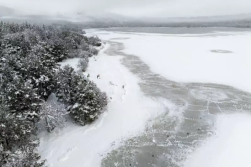
Arctic Blast Brings Snow and Ice Warnings Across Northern Britain
Yellow weather warnings for snow and ice have been activated across northern parts of the United Kingdom as a surge of Arctic maritime air drives temperatures down significantly. The Met Office has issued alerts covering most of Scotland and extensive regions of northern England, with hazardous conditions expected to persist through Friday.
Warning Details and Timing
The initial yellow warning for the majority of Scotland came into effect at 4pm on Thursday, 12 February 2026, and is scheduled to remain active until 12pm on Friday. A separate warning for northern England was activated at 7pm on Thursday and will also last until midday on Friday.
In Scotland, the alert encompasses virtually the entire country, with the exception of westerly areas of the Hebrides and Argyll and Bute. For England, the warning covers the North East, North West, parts of the Midlands, and Yorkshire and the Humber.
Forecasted Snow Accumulations
Met Office forecasts indicate that snow showers will initially affect higher ground before descending to lower levels throughout Thursday evening and overnight. By Friday morning, accumulations of 1-2 centimetres are anticipated on low-lying terrain in Scotland.
- On hills above 300 metres (984 feet), accumulations of 2-5 centimetres are possible.
- Very locally, some areas could see up to 10 centimetres of snow.
In northern England, any settling snow is expected to be mainly confined to high ground initially. Forecasters predict:
- 2-5 centimetres possible above 200 metres (656 feet).
- A few locations above 300 metres may receive as much as 10 centimetres.
Clearing Conditions and Ice Risk
The rain and snow are projected to clear southwards during the early hours of Friday. As skies clear, temperatures are expected to fall rapidly, leading to a significant risk of ice forming on untreated surfaces. This poses additional hazards for travel and pedestrians.
Official Statements and Health Alerts
Met Office spokesman Grahame Madge explained the meteorological context, stating, "An air mass called Arctic maritime air is bringing temperatures down. The snow and ice warnings that we've issued at the moment cover pretty much Scotland and northern parts of England. There may be some snow showers a little bit further south than that."
He added, "We're not expecting any particularly impactful snow and the conditions will be quite brief before we get another system coming in from the Atlantic over the weekend, but for the next few days, it will feel quite a bit different, as we've got colder air coming in."
Concurrently, the UK Health Security Agency has issued a yellow cold health alert for several English regions, including the East Midlands, West Midlands, North East, North West, Yorkshire and the Humber, highlighting health risks associated with the cold snap.
Travel Disruptions and Safety Advice
The Met Office has warned that some roads and railways are likely to be affected by the wintry conditions, with longer journey times expected. There is also an elevated risk of injury from slips and falls on icy surfaces.
Authorities are urging drivers to exercise extreme caution, adjust their driving to the conditions, and allow extra time for journeys. Pedestrians are advised to wear appropriate footwear and be vigilant on potentially icy pathways.


