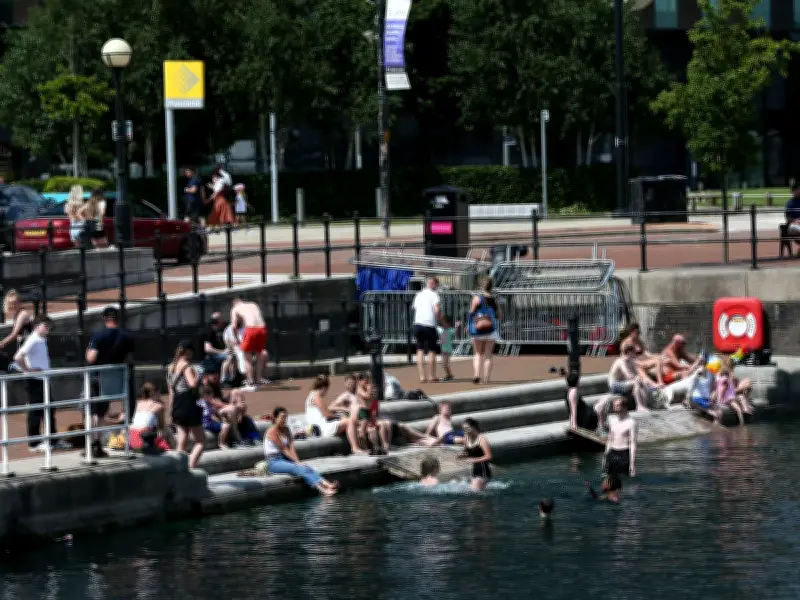
The Met Office has announced that Greater Manchester will see temperatures fall to 22C early next week, marking the end of the UK's third heatwave of 2026. After a prolonged period of hot weather, with temperatures exceeding 30C for over a week in some areas, conditions are finally easing.
Heatwave Details and Health Alerts
The Met Office described the recent hot spell as an 'exceptionally prolonged spell of hot weather'. The UK Health Security Agency (UKHSA) extended heat-health alerts across parts of the country, which are set to be lifted on Friday, July 17. The Met Office Fire Severity Index has indicated high or very high severity levels for wildfires.
Firefighters have battled numerous blazes, including a wildfire near Dovestone Reservoir in Saddleworth, believed to have been caused by sparks from fireworks. Very high pollen warnings remain in force across north west England, affecting hay fever sufferers.
Temperature Forecast for Greater Manchester
The Met Office forecast shows a gradual cooldown: highs of 28C on Thursday, 26C on Friday, 23C on Saturday and Sunday, dropping to 22C on Monday and Tuesday. This ends Greater Manchester's third heatwave of 2026, as the region's heatwave threshold is 25C or more for three consecutive days.
The Met Office stated: 'There are signs that temperatures will gradually ease through the second half of the week as slightly fresher air begins to move in from the east and north-east. Conditions are expected to become less intense, although temperatures are still likely to remain above average for many areas.'
Outlook for the UK
By the weekend, many places will feel less hot, but high pressure is expected to remain close to the UK, ensuring settled weather with little widespread rainfall. Isolated thunderstorms may develop, but significant rainfall appears limited.
The long-range forecast from July 20 to 29 indicates the UK will remain 'predominantly dry' as high pressure stays nearby. However, air from the North Atlantic will make it less hot than recent days. Showers are more likely in the far north early in the period. Towards the end of July, the influence of high pressure may wane, allowing a greater chance of rain, showers or thunderstorms, initially in the north before possibly moving south. Overall, temperatures are expected to remain above average.