The Met Office has issued its long-range rain forecast for the British Isles, predicting when the ongoing heatwave will end. After over a week of dry, sunny conditions that have caused lawns and garden plants to die off, the public is eagerly awaiting rainfall. According to the Met Office's update, the high-pressure system dominating UK weather will break down enough to allow precipitation to penetrate, but the relief will not be felt equally across the country.
Rain to Hit South and South West First
Forecasters say rain could hit the south and south west over the next few days, but the rest of the UK will remain untouched initially. The most likelihood of rain this month will be around July 25 and 26, according to the forecast data. The transition from dry heat to cooler, more unsettled conditions is expected to trigger volatile atmospheric conditions.
Thunderstorms and Localised Downpours Expected
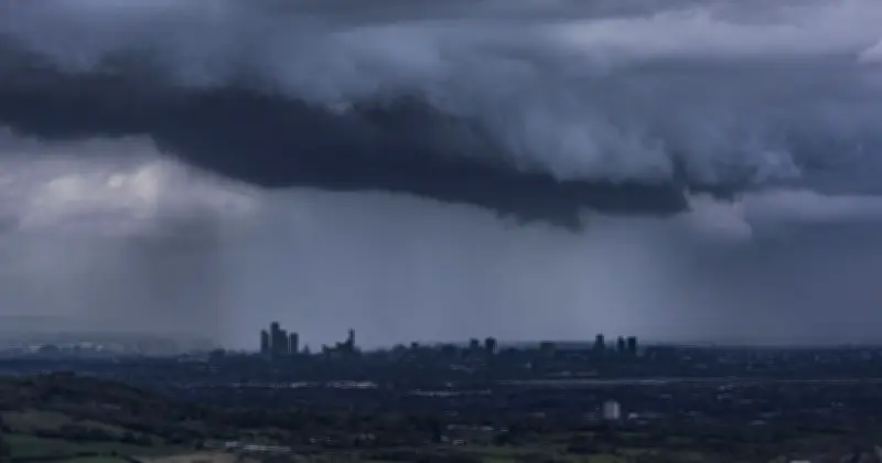
Forecasters warn that when the rain does arrive, it will likely be accompanied by a risk of thunderstorms and heavy, localised downpours. Once the unsettled front moves in, temperatures are expected to settle back down toward typical seasonal averages. This shift will mark a welcome transition to more changeable weather, breaking the prolonged dry spell with much-needed moisture.
The Met Office's long-range forecast highlights that the return of wet weather will not be felt equally across the country. Initial rainfall is projected to affect northwestern areas first, leaving the south and the southeast to contend with dry, warm conditions for a longer period.