Heatwave Relief on the Horizon
The Met Office has announced that the third heatwave of 2026 in the UK is set to end by this weekend, as a shift in high pressure brings cooler temperatures. The scorching spells this year have led to record-breaking temperatures, increased fires, and health issues, but forecasters now predict a much-needed reprieve.
Meteorologist Explains the Shift
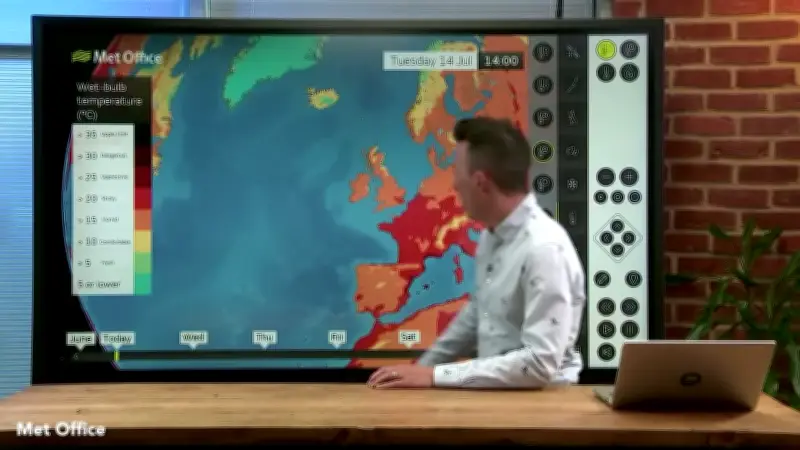
In the Met Office's latest Deep Dive weather forecast on YouTube, meteorologist Aidan McGivern detailed the change. "High pressure, by the end of this week, is drifting towards the north-west, and that's going to allow something a little fresher to recirculate around the high pressure," he said. He added that while temperatures will remain above average for many, the anomalies will reduce by Sunday.
McGivern continued: "So things are gradually cooling off for the rest of the week. It's not going to be cold, neither is it going to be unsettled, but the high pressure is drifting into a position to allow something less hot to circulate around it. We're talking by Saturday and Sunday, temperatures in the mid to high-20s rather than the low-30s." The highest temperatures this weekend are expected in Wales and the south-west, with the lowest in the east and north.
Met Office Weekend Forecast
The Met Office forecast issued this morning predicts highs of 29°C in southern areas on Saturday, with 24°C in northern regions. By Sunday, peak temperatures drop to 25°C in the south and 22°C in the north.
BBC Weather Forecast
BBC weather forecasters also expect temperatures to ease off towards the end of the week, with a chance of rain in some areas. The BBC forecast states: "Friday looks to become less warm, with variable cloud in the north and sunshine elsewhere. Saturday is expected to bring more cloud, especially across northern and eastern areas. A few patches of light rain or drizzle are possible along the North Sea coast. Sunday looks to be mostly dry with variable cloud, and a chance of the odd shower in western England."