
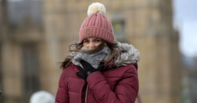
Weather maps indicate that the UK's third heatwave of the year is set to end this weekend, with temperatures plunging to as low as 6°C in some areas. According to data from WXCHARTS, which uses MetDesk data, the cold weather will reappear on Sunday, July 19, just four days from now.
Temperatures to Drop by 12°C Below July Average
The charts show that temperatures could fall from the high 20s°C currently being enjoyed across much of the country to chilly lows of 6°C at 6am. This represents a drop of 12°C below the July average. The coldest parts of the country will be in Scotland, though Cumbria and Durham will also see temperatures under 10°C.
Elsewhere, much of England can expect temperatures above lows of 10°C, with highs of 16°C in the South West.
Met Office Forecast for Friday to Sunday
The Met Office forecast for Friday to Sunday warns of increasing cloud cover and dropping temperatures. It states: "Staying dry and settled into the weekend. Further sunny spells, though cloud amounts generally increasing. Temperatures slowly dropping towards the seasonal average, but still feeling pleasant in the sunshine."
The Met Office also gave its verdict on the possibility of rain over the coming days: "For the next few days, high pressure is expected to remain close to the UK, meaning dry weather will continue for most areas. The most likely chance of rain will be in the far south or south-west, where a few isolated showers are possible. However, these are expected to be scattered and short-lived, with many places remaining dry."
Counties Under 10°C
The following 28 counties are forecast to be under 10°C on Sunday morning: Cumbria, Northumberland, Aberdeenshire, Angus, Banffshire, Berwickshire, Buteshire, Clackmannanshire, Dumfriesshire, East Lothian, Fife, Inverness-shire, Kincardineshire, Kinross-shire, Kirkcudbrightshire, Lanarkshire, Midlothian, Moray, Nairnshire, Orkney, Peeblesshire, Perthshire, Ross and Cromarty, Roxburghshire, Selkirkshire, Shetland, Sutherland, and West Lothian.




