
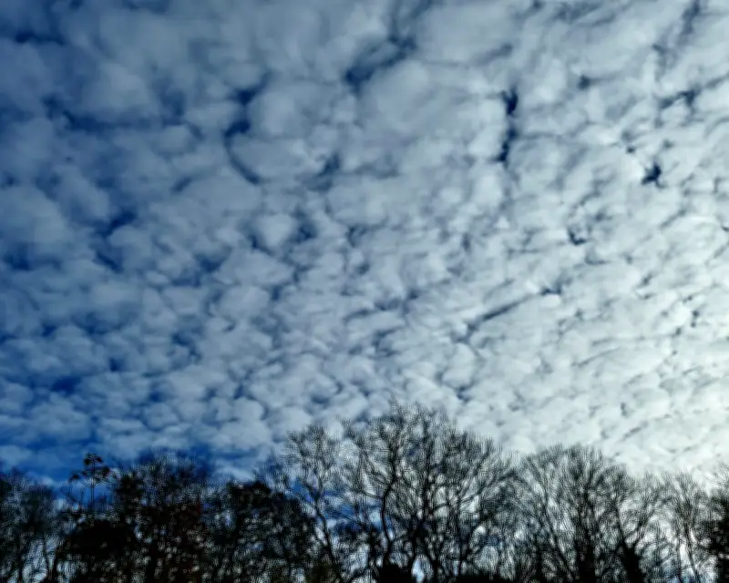
An old English saying warns: "Mare's tails and mackerel scales make lofty ships to carry low sails." This piece of folk wisdom, passed down through generations of sailors, accurately describes how certain summer cloud formations can predict impending storms.
Identifying Mackerel Skies
Mackerel skies refer to cirrocumulus or altocumulus clouds arranged in regular but patchy rows, resembling the light-and-dark scale pattern on a mackerel fish. The cirrocumulus variety appears white and wispy, while altocumulus is grey and thicker. A simple rule for identification: cirrocumulus clouds are narrower than a finger held at arm's length, whereas altocumulus span about three fingers' width.
Mare's Tails: Cirrus Uncinus
Mare's tails, scientifically known as Cirrus uncinus or "curly hook," are high-altitude clouds composed of ice crystals. They feature a dense, comma-shaped head with a series of fainter, swept-back plumes trailing behind, closely resembling a horse's tail.
Weather Implications
Both mackerel skies and mare's tails signal the imminent arrival of a warm front or a low-pressure cyclonic-storm system. As a warm front advances, it pushes moisture to high altitudes, creating these distinctive patterns. Mackerel skies result from turbulence, while mare's tails form when ice crystals are swept into long, faint plumes by variations in wind speed at different altitudes.
The old saying proves accurate: sailors of tall ships were wise to lower their sails, reducing sail area to avoid being overbalanced by the strong winds that accompany these warning clouds in the summer sky.




