
Britons are being urged to make the most of balmy weather this week, as temperatures could reach 20°C before an Arctic blast brings snow and lows of -6°C at the end of March.
According to the Met Office, Wednesday is expected to be the warmest day of the week, with highs of 18-19°C in parts of west Wales and western England, and possibly 20°C. This is due to the Foehn effect, where east to south-easterly winds pass over higher ground, boosting temperatures. The warm spell will make it hotter than holiday hotspots like Ibiza.
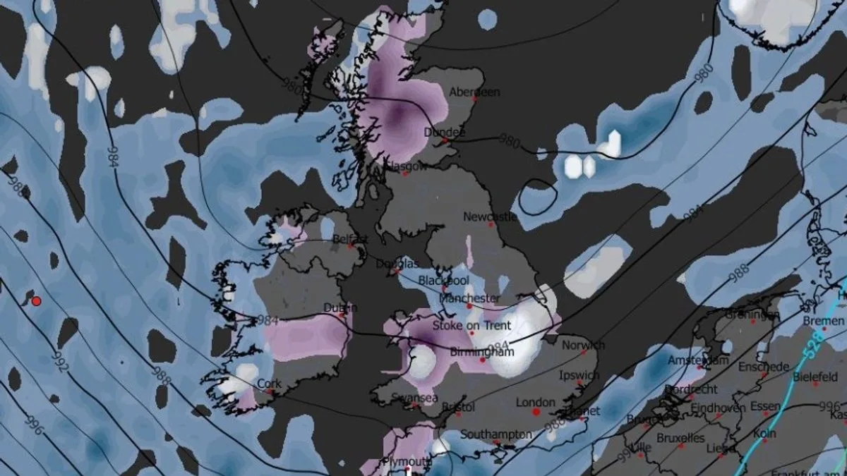
However, the mild conditions will be short-lived. A series of low-pressure systems are forecast to sweep in from the end of March, bringing cold polar air. WXCharts maps show heavy snow predicted for March 30 in the Midlands, central and northern Wales, as well as flurries in northern England and Scotland. Temperatures could drop to -5°C in Scotland and -6°C in Wales, with many areas near or below zero.
The Met Office’s long-range forecast for March 21-30 indicates a high pressure will initially bring predominantly dry weather, with temperatures close to or slightly above average. However, confidence decreases later in the period, with signals that showers or rain could return, most likely in the south.
Chief Forecaster Dan Harris noted a big diurnal range this week, with warm days followed by chilly nights and possible air frost in some places. He advised enjoying the spring sunshine while it lasts, as colder conditions are on the horizon.




