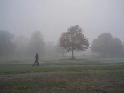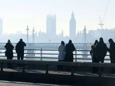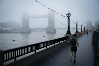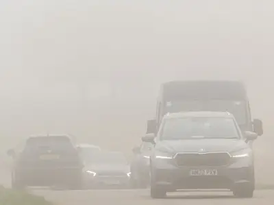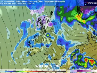
Freezing conditions are set to sweep across the UK in the coming days, with weather maps indicating temperatures could drop as low as -4C in parts of Scotland and England.
Forecasts produced by WXCharts suggest the cold snap will affect more than 30 counties, with the lowest temperatures expected around Inverness in Scotland and Manchester in England, where mercury levels could fall to -4C on November 13.
Counties Expected to See the Coldest Temperatures
According to the weather maps, counties such as Northumberland, Cumberland, Durham, Lancashire, Yorkshire, Cheshire, Derbyshire and Nottinghamshire will see temperatures oscillating between -2C and -4C at around 12 noon on November 13.
The Met Office's long-range forecast between November 10 and 19 states: "High pressure begins to migrate away to the east allowing frontal systems to progress into the UK from the southwest, although exactly how much progress into the UK this makes is uncertain."
Forecasters Point to Uncertain Colder Spell
The Met Office adds: "However there is a greater chance that at least the southern half of the UK will see a change to milder and wetter conditions, at least for a time, while the north is more likely to remain drier."
It continues: "Toward the end of next week we may start to see some colder conditions spread from the north. While the nature of this colder outbreak is very uncertain, it could bring some wintry showers to the northern UK briefly. Thereafter, a transition towards a westerly flow is likely, bringing changeable conditions with rain more likely focused towards the north west."
BBC's long-range forecast between November 9 and 15 also suggests the possibility of chilly weather at the end of this month. It reads: "The first half of next week is most likely to see a couple of low pressure circulations and frontal systems crossing the UK. These should bring occasionally wet and windy weather but also an uptick in temperatures as some milder Atlantic-sourced air moves in. It's possible that England and Wales will be wetter than Scotland and Northern Ireland, depending on the exact track of these systems."
Competing Scenarios for the Week Ahead
The BBC forecast adds: "A similar broad pattern could last into the second half of next week. However, there are two competing scenarios, and it is almost equally possible that as low pressure systems depart a high pressure ridge pops up in the eastern Atlantic, and this would cause colder north to north-westerly flows to develop for a couple of days."
It continues: "Conditions would become drier and sunnier aside from showers blowing across windward areas, which could be wintry at higher elevations. The outcome has low confidence at the moment but should become clearer in future updates. By the end of the week, we may be getting back into milder west to south-westerly flows as high pressure sinks southwards."
The coldest counties listed include, in Scotland: Highland, Moray, Perth and Kinross, Stirling, Argyll & Bute, Clackmannanshire, South Lanarkshire, West Lothian, North Ayrshire, East Ayrshire, South Ayrshire, Dumfries and Galloway, and Scottish Borders. In England: Northumberland, Cumberland, Durham, Lancashire, Yorkshire, Cheshire, Derbyshire, Nottinghamshire, Lincolnshire, Staffordshire, Shropshire, Herefordshire, Worcestershire, Gloucestershire, Warwickshire, Northamptonshire, Cambridgeshire, Norfolk and Suffolk.