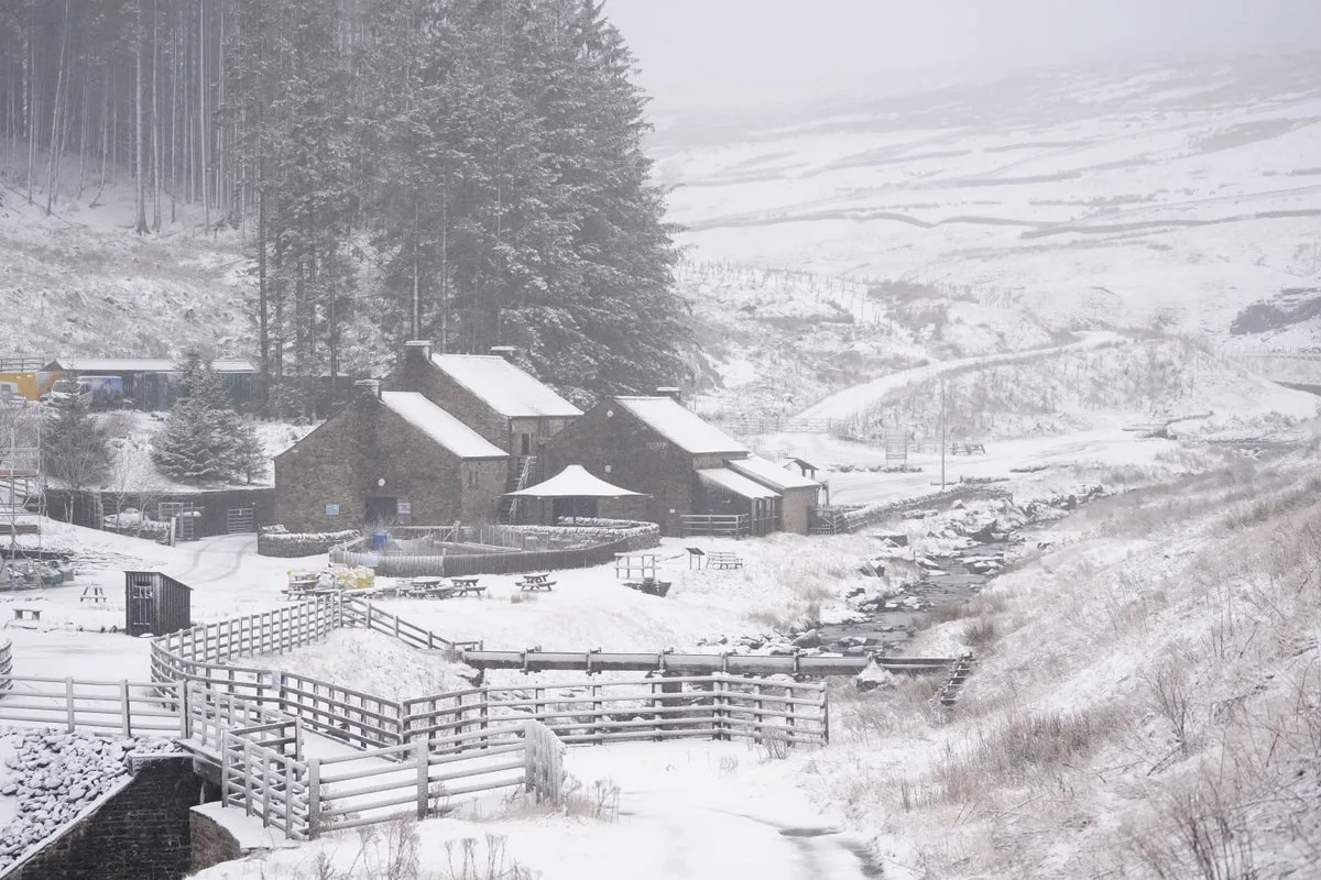
UK Braces for February Freeze as Wintry Onlaught Approaches
Britons are preparing for a month of severe winter weather as February approaches, with forecasters issuing stark warnings about widespread snow, ice, and freezing rain. The Met Office and advanced weather modelling indicate that almost every corner of the United Kingdom could face significant wintry hazards throughout the month, with temperatures plummeting and disruptive conditions likely.
Immediate Icy Spell Sets the Tone
The frigid conditions are expected to begin at the very end of January, with a sharp temperature drop bringing snow and bitter winds across the country. A 48-hour period of wintry weather is forecast for Friday, January 31st and Saturday, February 1st, as colder air reinforced by a biting southeasterly wind moves across the British Isles.
Severe gusts across northern England could lead to dangerous snow drifting, while icy ground surfaces substantially increase the risk of slips, falls, and accidents for pedestrians and motorists alike. At least eight areas in England are likely to experience snow during this initial cold snap, including:
- Cumbria
- Derbyshire
- Greater Manchester
- Lancashire
- North Yorkshire
- South Yorkshire
- Staffordshire
- West Yorkshire
'Beast from the East' Threat Looms for February
Early February could bring far more severe weather patterns, with advanced modelling maps suggesting a powerful 'Beast from the East' weather system could develop around February 9th and 10th. This potential storm threatens to unleash widespread snow and freezing rain across much of the country, creating hazardous travel conditions and possible infrastructure disruption.
Snow is expected to develop first across Scotland, northern England, eastern England and North Wales before spreading southwards throughout the day. By evening, the icy conditions could reach major population centres including London and Bristol, while persistent snow showers will likely target the East Midlands, East Anglia and Wales according to WXCharts predictions.
During this period, approximately 90% of the UK could have snow settled on the ground, with the heaviest accumulations forecast for North Wales, northern England and Scotland. Snow depth charts predict substantial falls, with up to 15 inches (39cm) possible across the North Pennines and 13 inches (33cm) in the Scottish Highlands.
Central and southern England are likely to experience much lower impacts, with cities like London and Birmingham potentially receiving just 1cm of snow accumulation. However, even small amounts can cause significant disruption to transport networks in these densely populated areas.
Further Snow Events Forecast for Mid-February
Later in the month, another major snow event appears possible, with forecast models indicating a large wall of snow could sweep south from Scotland as far as Oxford around February 12th. This would bring renewed risk of significant disruption to travel, schools, and businesses across affected regions.
The Met Office has warned that the risk of snow will increase as February progresses, with colder air pushing in from the east or northeast. Their long-range forecast from February 13th indicates: "Something of a north-south split seems quite likely at first, with low pressure to the south and high pressure to the north, before a potential change back to more of a southwest-northeast split."
"With the jet stream likely further south than normal, the wettest conditions are more likely towards the south. Northwestern parts of the UK are most likely to be drier than normal," the forecast continues. "Whilst incursions of wet, windy and milder weather are favoured at times in the south and later the west, colder conditions further north will bring an increased risk of wintry hazards, especially where any precipitation from the southwest interacts with the cold air."
The Met Office adds that colder conditions may affect all parts of the UK at times, particularly early in this period. Between February 14th until the end of the month, a "south-shifted jet stream" is likely to bring low pressure towards and south of the UK, resulting in spells of wet and windy weather.
Rain will be most frequent in southern regions, western areas, and eastern Scotland, with the driest conditions relative to normal expected in northwest Scotland. "Some hill snow will be possible at times as the wet weather encounters colder air across northern parts of the UK," the Met Office concludes, indicating that wintry conditions may persist throughout much of February.