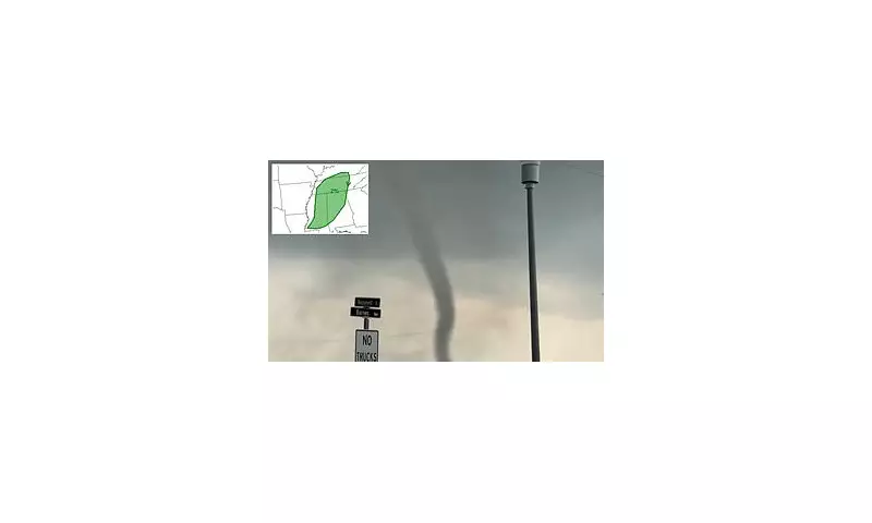
Meteorologists have issued a severe weather alert for residents across five American states, warning that isolated tornadoes could form amidst threatening thunderstorms today.
States on Alert for Severe Weather
The National Oceanic and Atmospheric Administration (NOAA) has identified a marginal risk of twisters developing in southern Kentucky, Tennessee, Mississippi, Alabama, and small sections of northern Georgia. Although officials classify the overall risk as marginal, their forecast explicitly warns that short-lived tornadoes may touch down in isolated locations throughout Friday.
Should any tornadoes develop, forecasters predict they would most likely be classified as EF-0 or EF-1. These are considered weak tornadoes that typically last only a few minutes, with their primary impacts being damage to trees and the tearing of shingles from roofs.
Meteorological Conditions Behind the Threat
According to NOAA's analysis, the dangerous conditions are being driven by a significant wind shear. Computer models and weather balloon data show that winds near the ground in these states are blowing rapidly from the south or southeast. However, just a few thousand feet above, the winds are considerably stronger and blowing from the southwest.
This dramatic change in wind speed and direction creates a twisting or rolling motion in the atmosphere. When the rising air within a thunderstorm encounters this twisting layer, it can tilt the spin into a vertical position, transforming an ordinary storm into a rotating supercell capable of producing a tornado.
NOAA emphasises that while the air lacks the intense heat and instability common during peak tornado season, there remains sufficient moisture and weak lift from an overhead weather disturbance to generate clusters of showers and thunderstorms.
Local Forecasts and Broader Weather Patterns
Local meteorologists in Mississippi and Alabama are forecasting heavy rainfall, with thunderstorms expected to persist throughout the day. There is a small chance that some of these storms could turn severe.
Meteorologist Tori Alvarado from WTOK provided context, stating, 'The biggest risk being the potential for damaging wind gusts, but an isolated tornado cannot be ruled out.' She added, 'After all of the rain is said and done, we could see anywhere from 1-2 inches of rain, but some areas locally could see more.'
This event occurs in what is known as the 'Southern Tornado Alley', an active storm belt in the Southeast that includes Louisiana, Mississippi, Georgia, Alabama, and the Carolinas. John Lavin, AccuWeather's director of forensic services, noted, 'It's been a particularly bad area for tornadoes over the last 10 years.' This is underscored by the nearly 20 tornadoes that rampaged across several Mississippi towns earlier in 2025.
Looking ahead to the weekend, the storm prediction agency has also warned of a higher risk of extreme weather on Sunday across Texas. From Central Texas down to the Rio Grande Valley, encompassing cities like San Antonio, Austin, and Laredo, another round of severe storms is possible from Sunday night into Monday. These storms could bring large, golf ball-sized hail and damaging wind gusts.


