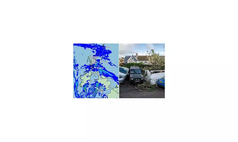
The Met Office has issued a significant yellow weather warning as Storm Ingrid prepares to strike Britain tomorrow, bringing a potent mix of heavy rainfall and powerful winds to regions still grappling with the aftermath of the recent Storm Goretti.
Severe Weather Conditions Expected
Forecasters predict that Storm Ingrid will unleash up to 1.6 inches (40mm) of rain alongside gusts reaching 60mph across many parts of the country. The official weather warning for both wind and rain will remain in effect from 2am on Friday through to 9am on Saturday, highlighting the prolonged nature of this disruptive weather system.
Areas Most at Risk
Meteorological experts indicate that Wales and southwest England are likely to bear the brunt of Storm Ingrid's fury. These are precisely the same regions that suffered extensive damage during Storm Goretti earlier this month, creating a concerning pattern of repeated severe weather impacts.
During the previous storm event, Cornwall experienced particularly devastating conditions with gusts approaching 100mph that prompted the rare issuance of a red warning due to falling debris and serious danger to life. Tragically, one Cornish man lost his life when a tree collapsed onto his caravan during the violent weather.
Expert Analysis and Warnings
Met Office Chief Forecaster Neil Armstrong provided detailed insight into the approaching weather system, stating: 'An area of low pressure [Storm Ingrid] will bring spells of heavy rain and strong winds across much of southwest England on Friday before easing on Saturday morning.'
Armstrong further explained the compounding risks: 'The system is slow-moving but will bring more than 20mm of rain for some which is falling on saturated ground, increasing the chances of impacts. In addition to rain, large waves and gusty winds are likely, especially along southern coasts, with 60mph peaks possible, with 45-50mph inland.'
Recovery Challenges from Previous Storm
The timing of Storm Ingrid presents particular challenges as communities continue their recovery efforts from Storm Goretti's destruction. Residents on one tidal island near Cornwall awoke after the previous storm to discover more than 80 trees brought down by the extreme weather, while widespread power cuts lasted for hours across affected regions.
The severe conditions during Storm Goretti caused substantial disruption including:
- School closures across multiple regions
- Significant travel disruption with snow and ice following initial winds and rain
- Approximately 28,000 properties losing power in the southwest alone on one morning
- Birmingham and East Midlands airports suspending operations
- Villages in Scotland becoming completely cut off with temperatures plummeting to nearly -15°C
Broader Weather Patterns
Storm Ingrid, which received its designation from the Portuguese weather service, represents part of a broader pattern of unsettled weather affecting Britain this January. The Met Office has indicated that challenging conditions may persist throughout the remainder of the month, with forecasters warning of potential snowfall in northern and eastern regions next week.
The national weather service elaborated on this outlook: 'While much uncertainty remains into the start of next week, there’s a chance of wintry hazards at times, particularly in the north and east with the possibility of snow for some. With an easterly influence, cold weather, especially for those in the northeast, is on the cards with the potential for snowfall accumulations in places, though it’s too early to specify exact details.'
This continued pattern of severe weather events underscores the importance of heeding official warnings and preparing appropriately for potentially dangerous conditions across multiple regions of the United Kingdom.


